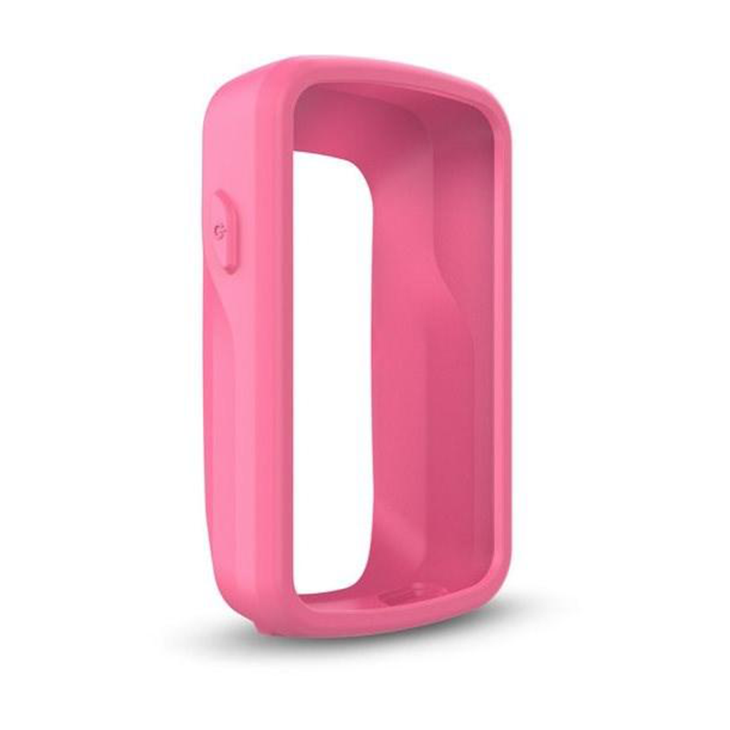
Protect your Edge 820 with this form-fitting, removable silicone case. Also available in other colors (sold separately). Sobib järgmistele Garmini toodetele : Garmin Edge 820 / Explore 820
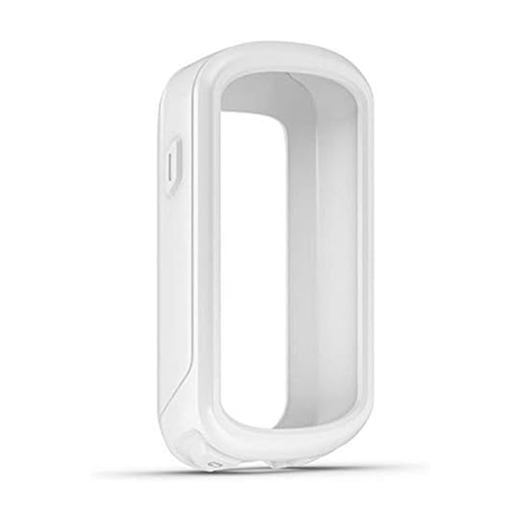
Protect your compatible Edge® Explore with this form-fitting, removable silicone case. Also available in other colors (sold separately). Sobib järgmistele Garmini toodetele: Garmin Edge Explore
Protect your compatible Edge® Explore with this form-fitting, removable silicone case. Also available in other colors (sold separately). Sobib järgmistele Garmini toodetele: Garmin Edge Explore
Protect your compatible Edge® Explore with this form-fitting, removable silicone case. Also available in other colors (sold separately). Sobib järgmistele Garmini toodetele: Garmin Edge Explore
Protect your compatible Edge® Explore with this form-fitting, removable silicone case. Also available in other colors (sold separately). Sobib järgmistele Garmini toodetele: Garmin Edge Explore
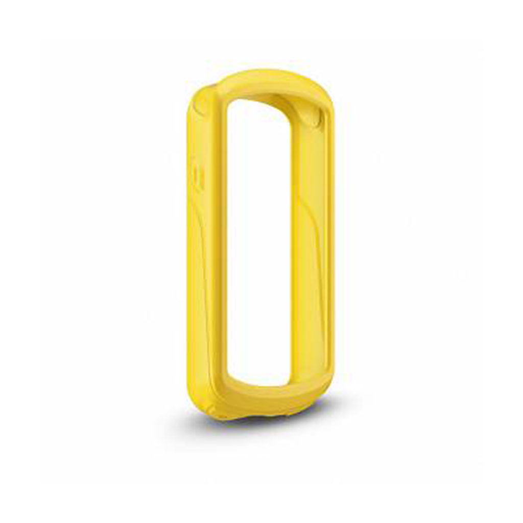
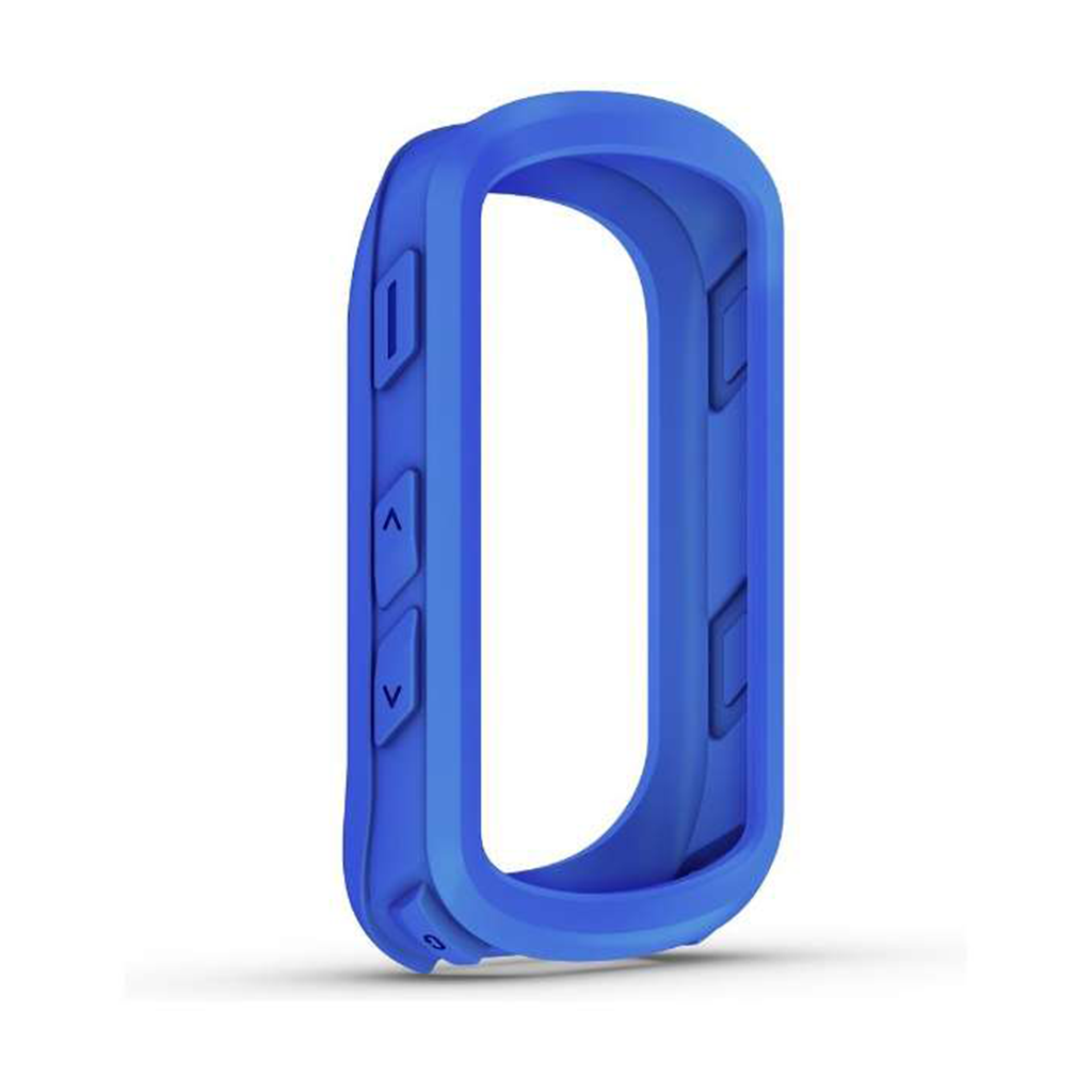
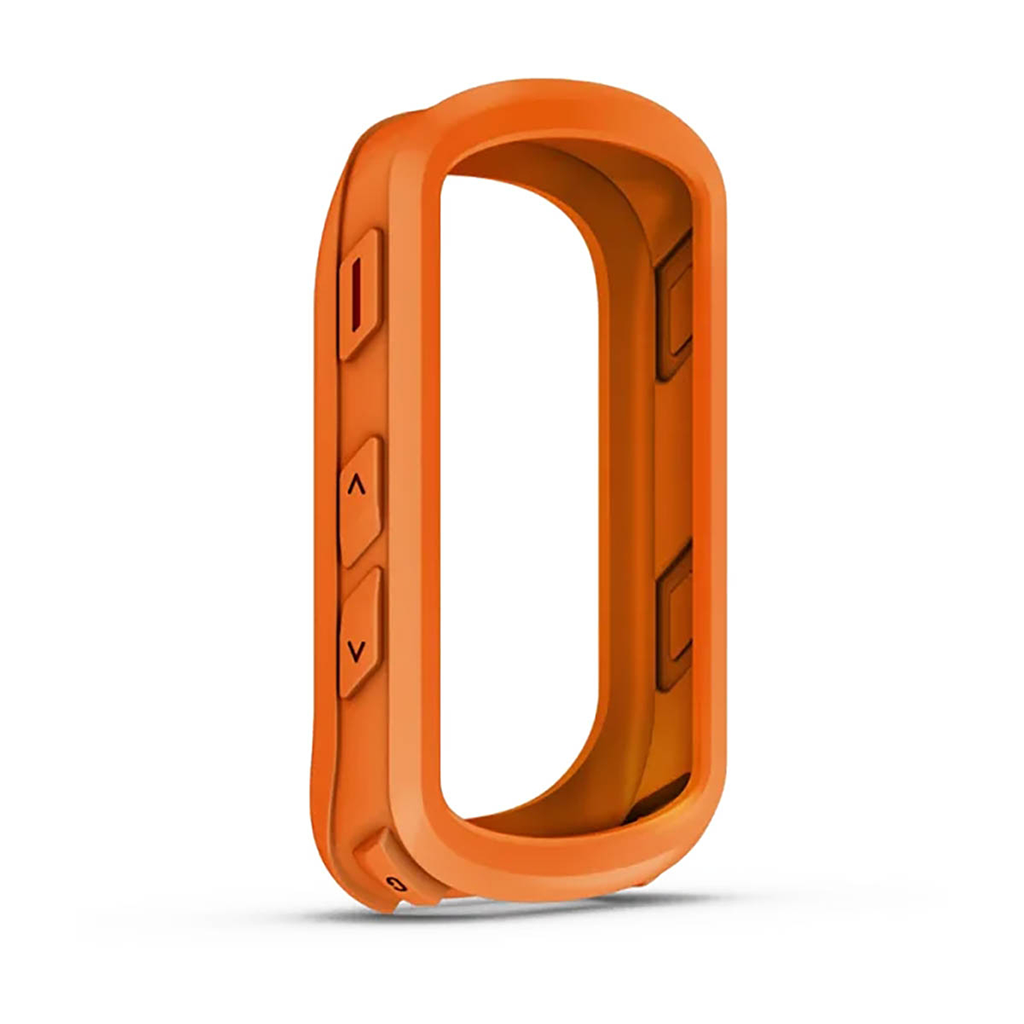
Kasuta oma ühilduva Edge® seadme kaitseks eemaldatavat silikoonkorpust. Saadaval ka teistes värvitoonides (eraldi müügil). Sobib järgmistele Garmini toodetele: Garmin Edge 540 / 540 Solar / 840 / 840 Solar
Kasuta oma ühilduva Edge® seadme kaitseks eemaldatavat silikoonkorpust. Saadaval ka teistes värvitoonides (eraldi müügil). Sobib järgmistele Garmini toodetele: Garmin Edge 540 / 540 Solar / 840 / 840 Solar
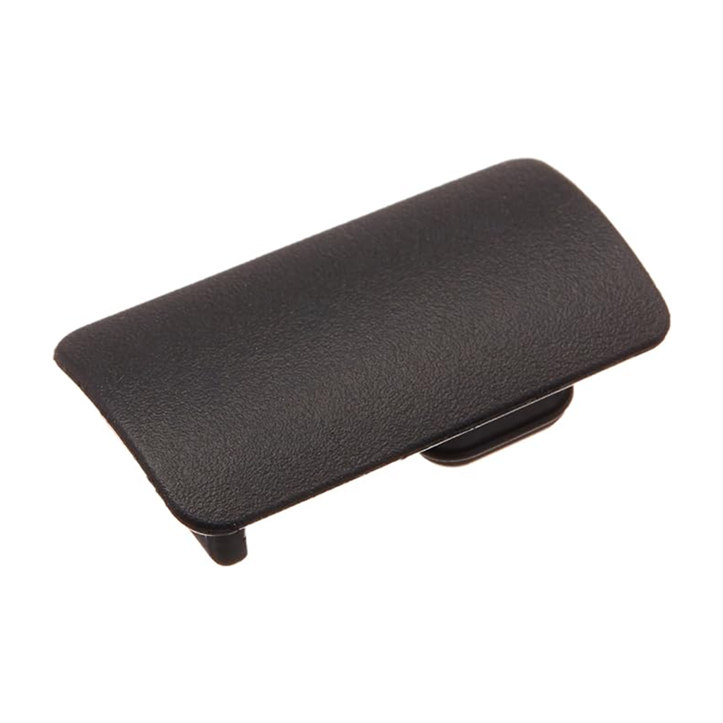
Keep dirt, water and other harmful substances out of the USB port on your Delta™ or Delta Sport™ handheld dog device with this small, molded and pliable seal.
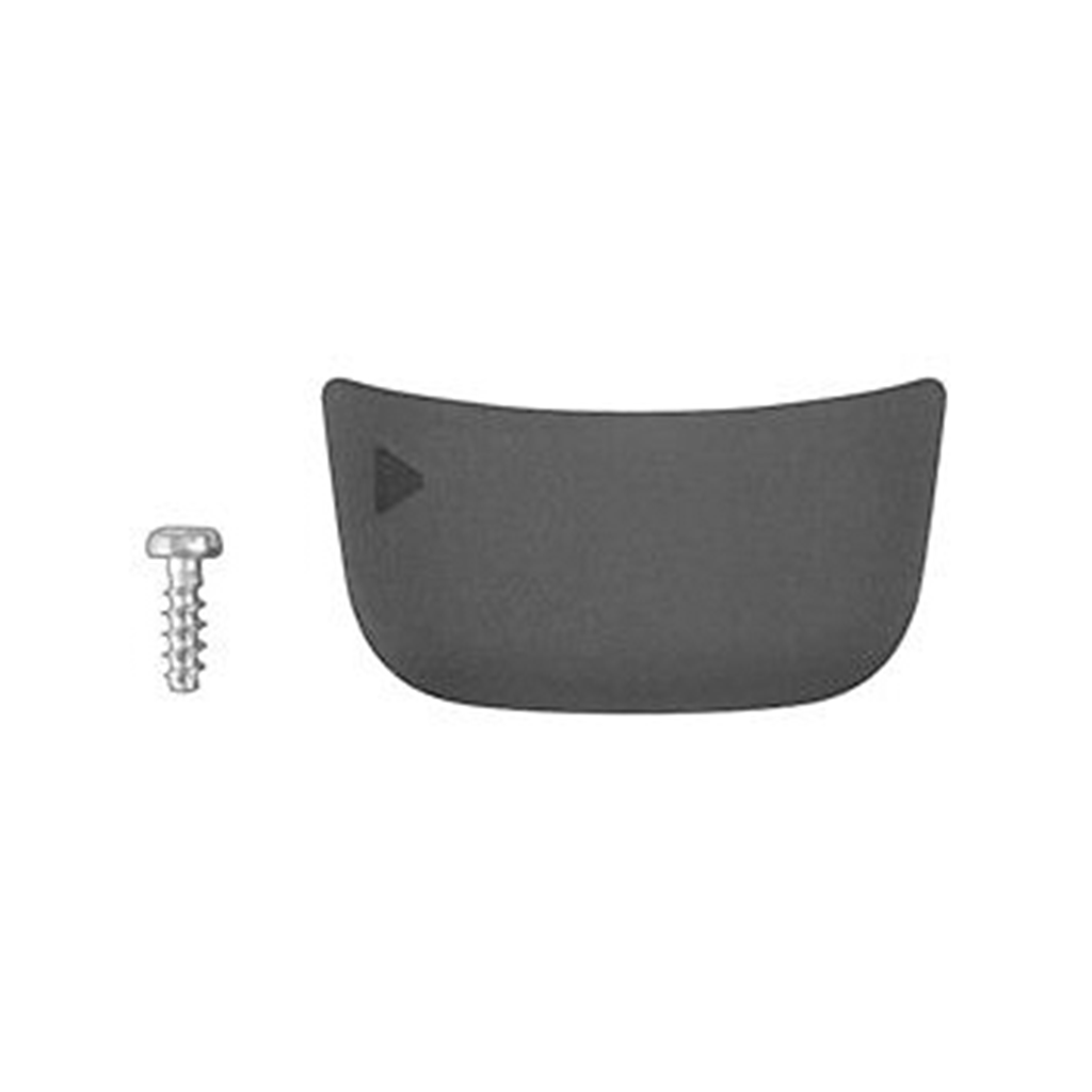
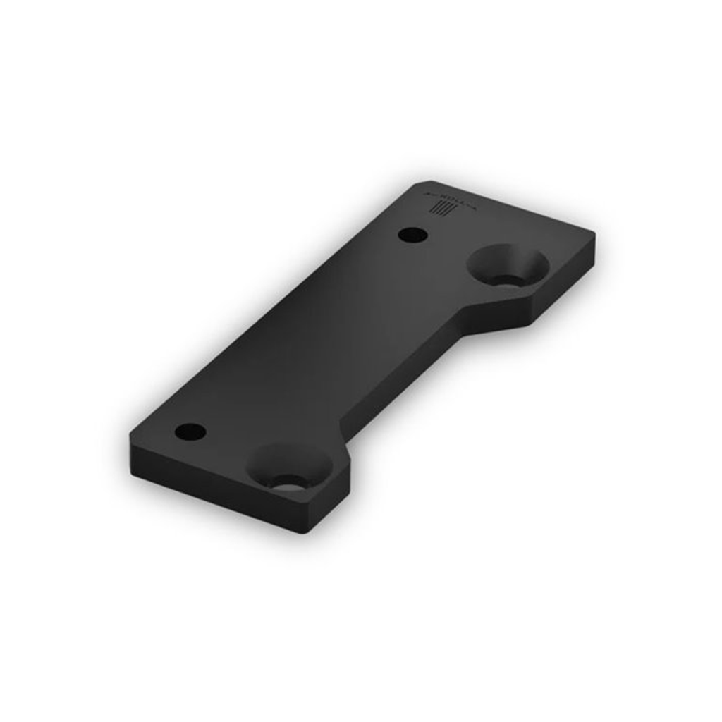
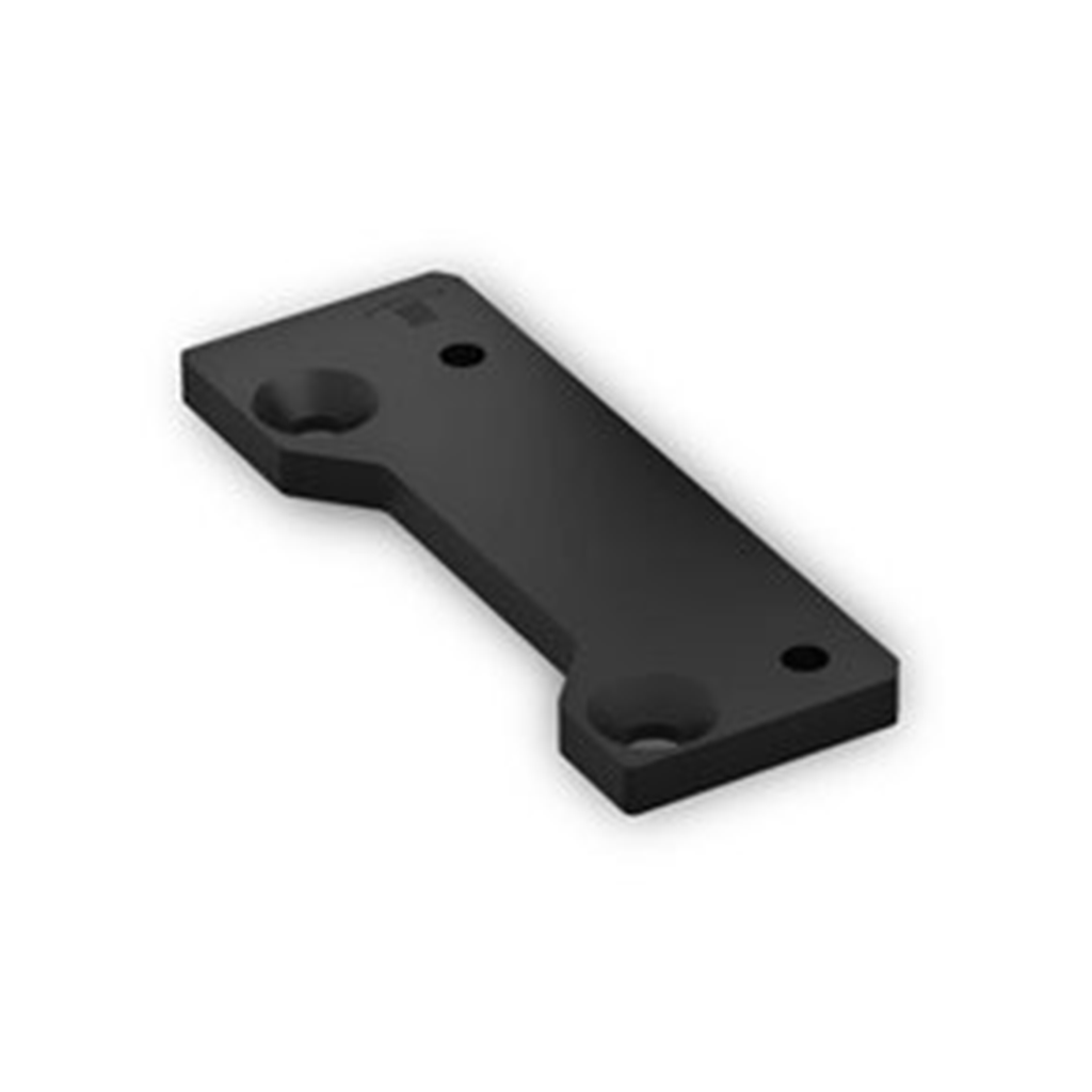
For those whose bows tune significantly inside of centershot and find they run out of windage, this extender plate provides additional travel on your compatible Xero® A1i PRO bow sight. The correct extender plate handedness will match that of your bow (i.e. choose Right-hand for a Right- handed bow). Includes screws for easy installation. Sobib järgmistele Garmini toodetele: Garmin Xero A1i PRO Bow Sight
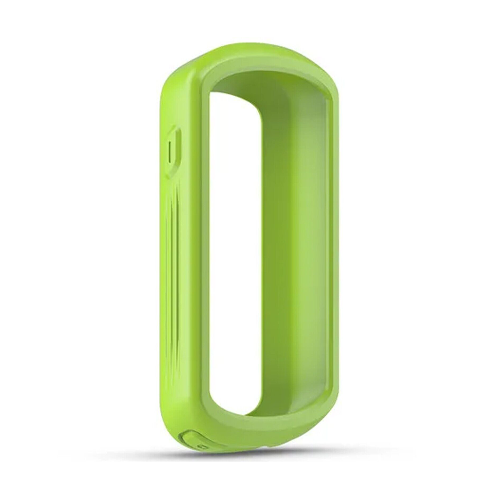
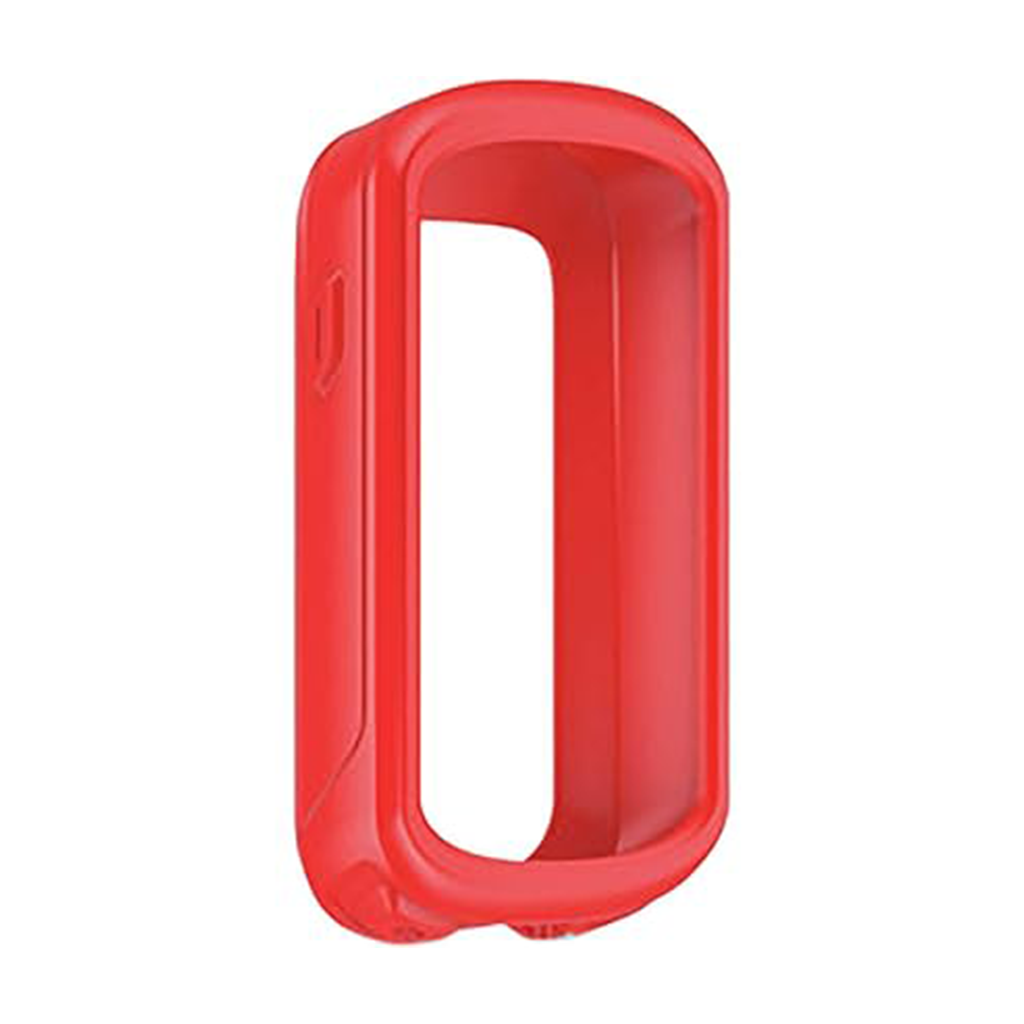
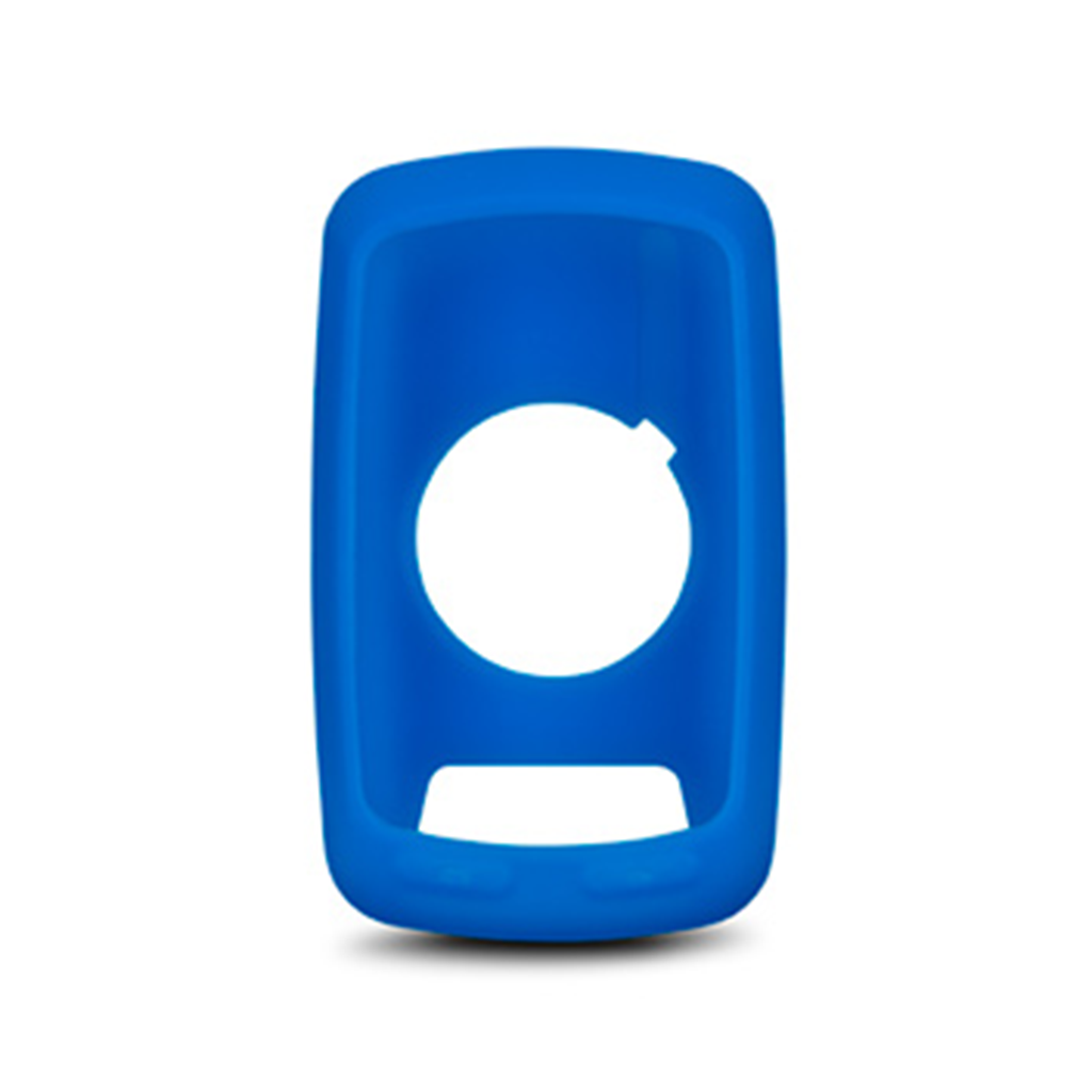
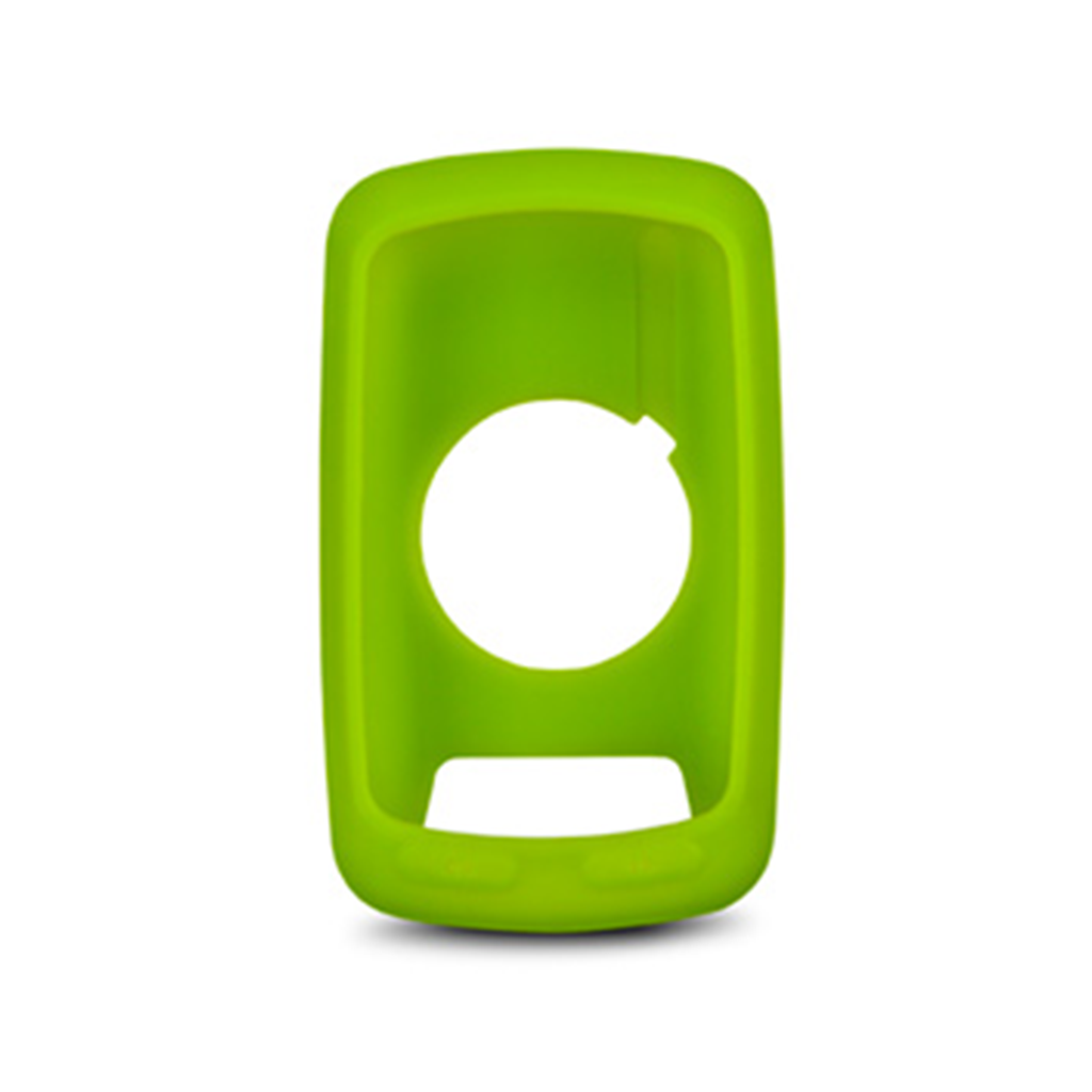
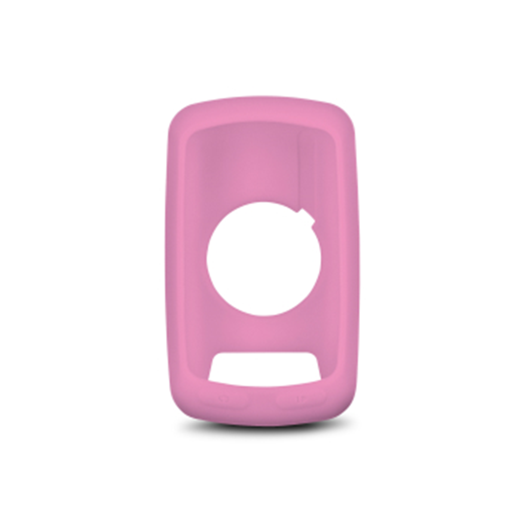
Protect your Edge with these form-fitting, removable silicone cases. Available in an assortment of colors (sold separately). Sobib järgmistele Garmini toodetele: Garmin Edge 800 / 810 / Touring / Touring Plus
Protect your Edge with these form-fitting, removable silicone cases. Available in an assortment of colors (sold separately). Sobib järgmistele Garmini toodetele: Garmin Edge 800 / 810 / Touring / Touring Plus
Protect your Edge with these form-fitting, removable silicone cases. Available in an assortment of colors (sold separately). Sobib järgmistele Garmini toodetele: Garmin Edge 800 / 810 / Touring / Touring Plus
Use these elastic bands with your Varia tail light multi-location quarter turn mount to attach your compatible tail light (sold separately) to your backpack, helmet or other preferred location on your bike. Sobib järgmistele Garmini toodetele : Garmin Varia RTL510 / RTL515 / RVR315 / Smart Bike Lights / UT800 Smart Headlight
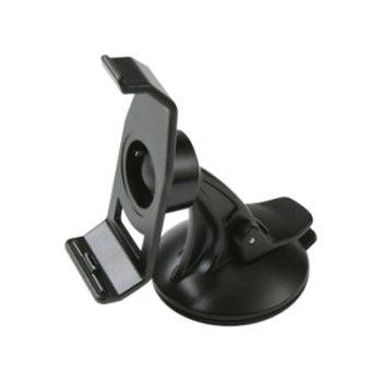
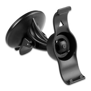
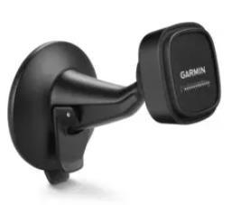
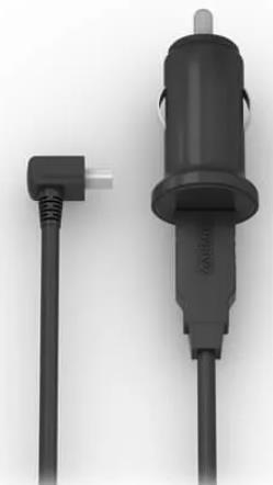
For easy viewing, mount your compatible zūmo® on your windshield or any smooth, flat surface. Includes suction cup mount, bracket and vehicle power cable. Sobib järgmistele Garmin toodetele: Garmin zumo 396 LMT-S
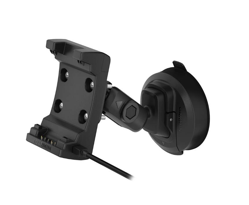
Selle iminapa kinnitusega pääsete navigeerimise ajal juurde oma masinapargi seadmele. Toiteallikaga magnethäll laeb teie seadet sõidu ajal. Lihtsalt imege oma alus tuuleklaasile või mis tahes siledale tasasele pinnale. Kaasas iminapa kinnitus ja turvahäll.Ühildub:RV-BBT601
Paigaldage see ühilduv seade mis tahes auto armatuurlauale. See ketas kleepub armatuurlaua külge ja iminapa kinnitus kleepub ketta külge.Ühildub:Camper 1090Camper 890dēzl™ LGV1000dēzl™ LGV1010dēzl™ LGV610dēzl™ LGV710dēzl™ LGV800dēzl™ LGV810
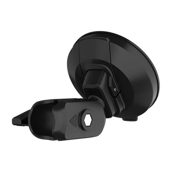
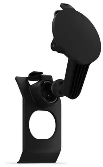
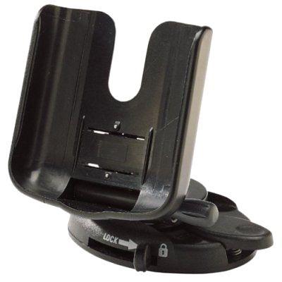
Veelgi lihtsamaks navigeerimiseks kinnita kinnituse külge ühilduv seade! Kinnitage 10-tolline iminapp ainult turvaklaasile või mis tahes siledale tasasele pinnale!
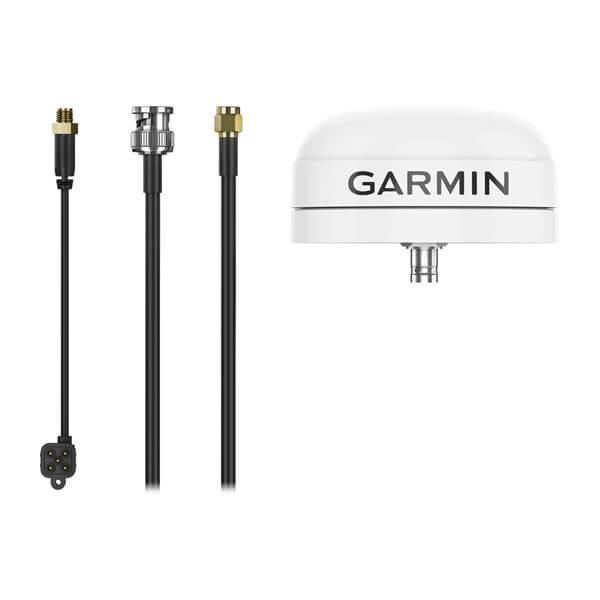
See vastupidav väline antenn on paigutatud silmapaistmatusse veekindlasse korpusesse. Välisel GPS-antennil on suurenenud paindlikkus ja paigaldusvõimalused ning potentsiaal paremate tulemuste saavutamiseks.
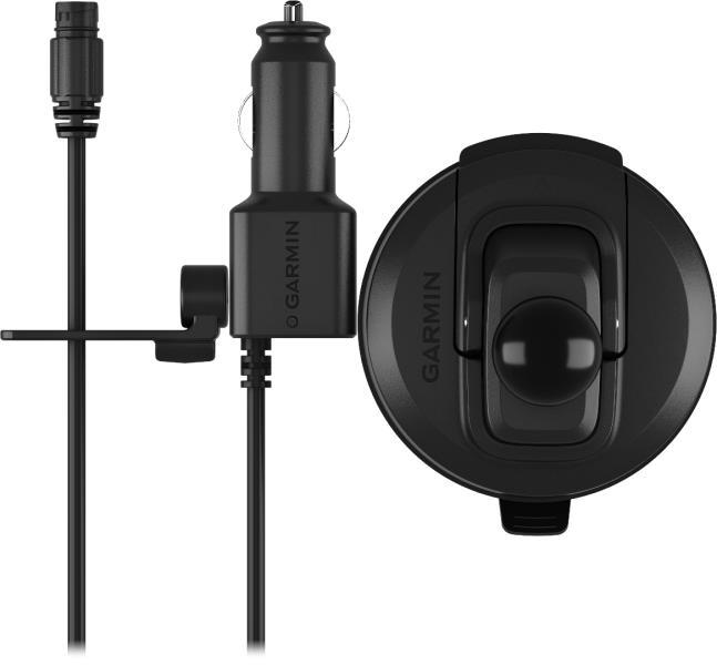
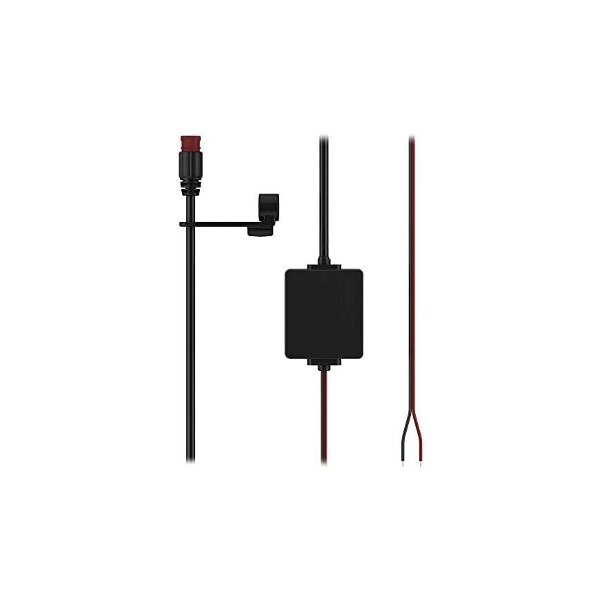
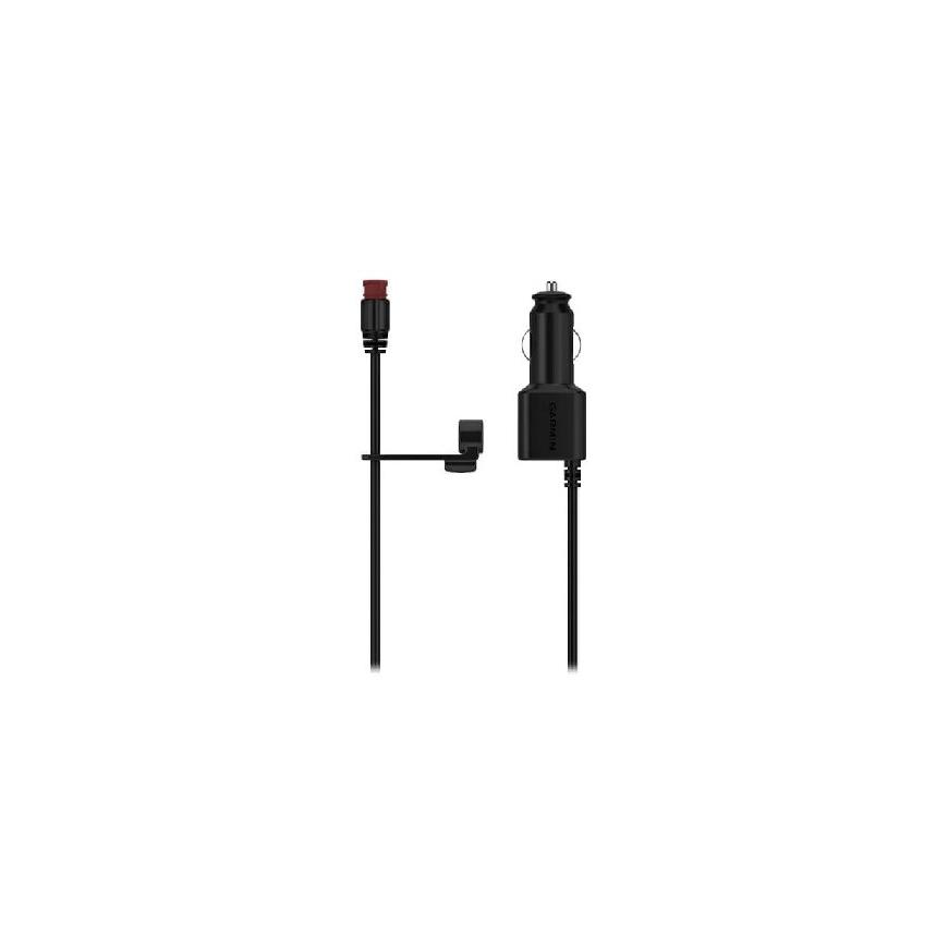
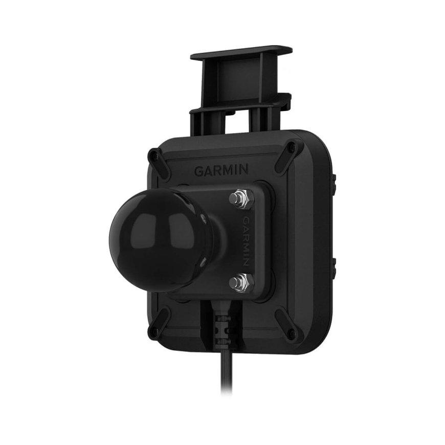
Kinnitage oma ühilduv navigaator oma sõidukisse selle iminapa kinnituse ja 2-kontaktilise pistikuga toitekaabli abil. Grupisõiduraadio optimaalseks jõudluseks paigaldage sõiduki väline antenn.Ühildub:Tread ™Tread® – Base Edition
Lihtsalt kinnitage see kinnitus tuuleklaasile või mis tahes sileda ja tasase pinna külge ja kasutage navigeerimise ajal oma ühilduvat seadet. Komplekti kuuluvad integreeritud kõlariga kinnitus, USB-C ja USB-C andmekaabel ning iminapakett lihtsaks paigaldamiseks. Teie seade laeb end paigaldamise ajal.
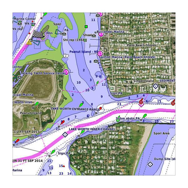
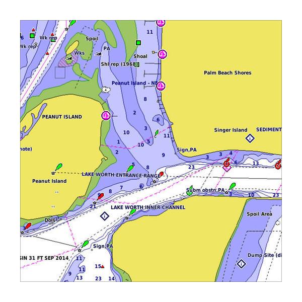
Premier Coastal Charts. Industry-leading coverage, clarity and detail with updated coastal charts that feature integrated Garmin and Navionics® content Auto Guidance¹ technology quickly calculates a suggested route by using your desired depth and overhead clearance Includes Depth Range Shading for up to 10 depth ranges, enabling you to view your target depth at a glance Up to 1’ contours provide a more accurate depiction of the bottom structure for improved fishing charts To give a clear picture of shallow waters to avoid, the Shallow Water Shading allows for shading at a user-defined depth
Our Advanced Chart Offering Derived from official charts and private sources to provide navigational aids, spot soundings, depth contours, tides and currents, and detailed harbors and marinas Depth Range Shading for up to 10 depth ranges enables you to view your target depth at a glance Up to 1-foot contours provide a more accurate depiction of the bottom structure for improved fishing charts and navigation in swamps, canals and marinas Shallow Water Shading feature allows for depth shading at a user-defined level to aid in navigation Worldwide coverage available Keep your charts up to date with our industry-leading New Chart Guarantee and discount card update program
Unparalleled Coastal Chart Coverage Provides industry-leading coverage, clarity and detail with updated coastal charts that feature integrated Garmin and Navionics® data Auto Guidance¹ technology calculates a route using your desired depth and overhead clearance and provides a suggested path to follow Includes Depth Range Shading for up to 10 depth ranges, enabling you to view your target depth at a glance Up to 1’ contours provide a more accurate depiction of the bottom structure for improved fishing charts and navigation in swamps, canals and marinas NOAA raster cartography is available as a free downloadable feature via the ActiveCaptain® app
Premier Coastal Charts. Industry-leading coverage, clarity and detail with updated coastal charts that feature integrated Garmin and Navionics® content Auto Guidance¹ technology quickly calculates a suggested route by using your desired depth and overhead clearance Includes Depth Range Shading for up to 10 depth ranges, enabling you to view your target depth at a glance Up to 1’ contours provide a more accurate depiction of the bottom structure for improved fishing charts To give a clear picture of shallow waters to avoid, the Shallow Water Shading allows for shading at a user-defined depth
WorldWide Coverage. Derived from official charts and private sources to provide navigational aids, spot soundings, depth contours, tides and currents, and detailed harbors and marinas Shallow Water Shading feature allows for depth shading at a user-defined level to aid in navigation.Detailed charts help the mariner guide their boat in and out of port with confidence.
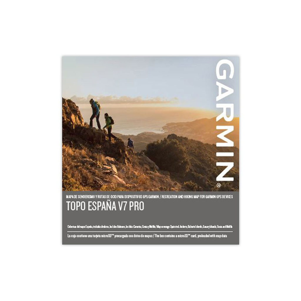
Let Garmin guide you in your outdoor adventures or holidays across Spain with the most detailed full coverage recreational map. Produced in collaboration with the Instituto Geográfico Nacional de España and the Institut Cartogràfic I Geològic de Catalunya, this product provides a large number of editorial mapping content, including 1:25,000 scale topographic maps and popular trails for your next recreational pursuit. Displays turn-by-turn street navigation on more than 2 million km (1.2 million miles) of road and trail network, with 56,000 km (35,000 miles) of off-road recreational trails Offers 1.15 million searchable points of interest for recreational activities and travel, including lodging, restaurants, attractions, entertainment, shopping and more Shows “Named Trails,” which reproduce the most popular recreational routes, including the reknown “Vias Verdes” itineraries Includes ActiveRouting¹ features, which allow you to plan and customize routes using the entire road and trail network; the activity specific map display shows content in different colors for the various activities Compatible with free BaseCamp™ software, that lets you plan trips on your computer and transfer routes and waypoints from your computer to your compatible device.