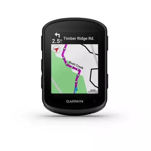
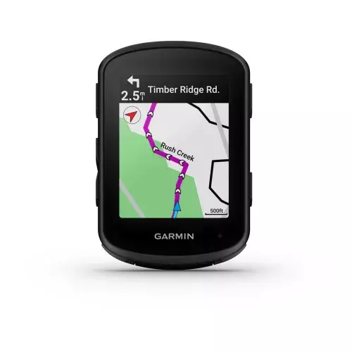
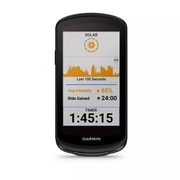
TUTVUSTA TÄNAST MINA HOMSELE. Paranda oma vormi iga päev rattakompuutri Edge® 540 abil, millel on juhtnupud ja eesmärgipärane kohanduv treeninguabi funktsioon. See on optimaalne varustus, mille abil saad treenida tulevasteks võistlusteks või saavutada vahe-eesmärke. Akusäästurežiimis kestab aku ühe laadimisega kuni 42 tundi. Nadui mitmeribalise GNSS-tehnoloogia ülimat täpsust. Sõidu ajal saad vastupidavuse ülevaate funktsiooni abil silma peal hoida sellel, kui kaua suudad veel täis jõuga edasi rühkida. Arenda oma tulemusi igapäevaste treeningsoovituste abil. Sõida rattaga nagu kohalik sõidutüübist lähtuvate kaartide ja navigeerimise abil. Seadista oma uus seade kiiresti, edastades sellesse olemasolevad sõiduandmed ja profiilid. PARIMAD FUNKTSIOONID PIKEM AKU KASUTUSAEG Intensiivses režiimis kestab rattakompuutri Edge® 540 aku kuni 26 tundi ja akusäästurežiimis kuni 42 tundi. KOHANDUV JUHENDAMINE Vaata igapäevaseid treeningsoovitusi ja treeningu juhiseid ekraanil; hangi olenevalt eesmärgist isikupärastatud treeninguabi, mis kohandub sinu praeguse treeningkoormuse ja taastumisega. MITME SAGEDUSRIBAGA GNSS Leia oma tee mitmeribalise GNSS-tehnoloogia abil, mis tagab suurema positsioneerimistäpsuse. CLIMBPRO TÕUSUPLANEERIJAT Vaata ülesmäge sõidul järelejäänud tõusu pikkust ja kallet, nii saad ClimbPro, mis on nüüd saadaval igal sõidul ega vaja rada, abil hinnata palju pingutama pead. JALGRATTASÕIDU VÕIMEKUS JA RAJA NÕUDED Võrdle oma rattasõiduvõimekust konkreetse raja nõudmistega ja keskendu õigete valdkondade treenimisele, kui see on ühendatud su ühilduva võimsusmõõturi ja pulsimonitoriga. JÕUDLUSJUHIS Halda oma pingutusi jõudlusjuhistega, milles pakutakse kogu raja jooksul võimsuseesmärke. Selleks pead seadme ühilduva võimsusmõõdikuga paaristama ALISTA IGA TREENINGU ETAPP VALMISTU TREENITUSTASE Hinda oma tulemusnäitajaid, et näha, kas treenid tulemuslikult. KUUMUSE JA KÕRGUSEGA KOHANDUV Vaata, kuidas su keha kuumuse ja kõrgusega kohanemisega toime tuleb’. RÜHMA JÄLGIMISE FUNKTSIOON Hoidke funktsiooni GroupTrack abil üksteise asukohal silma peal, korraga saab jälgida kuni 50 sõitjat. SÕIDUSPETSIIFILINE MARSRUUT Vali oma sõidu jaoks sobiv marsruut, olenemata sellest, kas olete mäel, kruusarajal või maanteel. RAKENDUSE TRENDLINE™ POPULAARSED MARSRUUDID Sinu Edge leiab parima marsruudi – valides enim läbitud teede (ja radade) hulgast. SÜNDMUSE EESMÄRGID Vali võistlusdistants ja ajaline eesmärk ning saa iga päev treeninsoovitusi. GARMINI JALGRATTAKAARDID Sõida eellaaditud kaartide abil, mis sisaldavad Trailforksi ülemaailmseid maastikurattaradade andmeid. TREENI JA TEE TULEMUS RATTASÕIDU DÜNAAMIKA Täpsemad rattasõidumõõdikud annavad muutuvates tingimustes sooritusest ülevaate. MTB DÜNAAMIKA Jälgi sõidu vajalikke andmeid nagu hüpete arv, hüppe pikkus ja õhus oleku aeg. MÕÕDIKUD GRIT® JA FLOW™ Grit hindab raja raskusastet. Flow mõõdab, kui sujuvalt sa sellel sõidad. PÖÖRDEST PÖÖRDENI NAVIGEERIMISE ABIL Püsi üksikasjalikke juhiste ja hoiatuste abil kursil. TAGASI ALGUSESSE Kui oled eksinud või tahad varakult koju minna, naase rajale või alguspunkti. TOITUMISE JA VEETARBIMISE HOIATUSED Hoolitse sõites enda energiavarude eest märguannete abil, mis annavad teada, kui on aeg juua või süüa. VASTUPIDAVUSE SOOVITUSED Hangi sõidu ajal vastupidavuse ülevaateid, et saaksid jälgida, kui palju jõuvarusid sul veel jäänud on. JALGRATTASÕIDU OHUTUS JA TEADLIKKUS ÜHILDUV VARIA™ SEADMETEGA Seo oma Edge’i seade enda Varia tahavaateradari ja nutikate tuledega, et näha ja olla nähtav. JUHTUMITUVASTUS See funktsioon saadab sinu asukohaga sõnumi hädaolukorra kontaktisikutele, kui maanteel või maastikul on juhtunud intsident. FUNKTSIOON LIVETRACK Kui seade ühilduva nutitelefoniga seotud, saavad lähedased sinu asukohta jälgida. JALGRATTA ALARM PIN-koodiga kaitstud häire annab sinu ühilduva nutitelefoni kaudu märku, kui sinu jalgratast liigutatakse. SEADME INREACH® ÜHILDUVUS Püsi ühenduses kõikjal, kus sõidad, sidudes selle oma ühilduva inReachi seadmega. ÜHENDUVUS NUTITEAVITUSED Saa tekstsõnumeid ja teavitusi oma Edge’i rattakompuutrisse, kui oled selle ühilduva nutitelefoniga sidunud. NUTIKA TREENERI ÜHILDUVUS Selle Edge’i saab siduda sisetrenažööriga, et saaksid jälgida oma koduseid sõite. ELEKTRIRATTA ÜHILDUVUS Ühenda see oma ANT+® tehnoloogia või SHIMANO STEPSiga ühilduva elektrirattaga. CONNECT IQ™ POOD Laadi alla kohandatavaid andmevälju ning hangi rakendusi ja vidinaid meie Connect IQ Store’i nutitelefonirakendusest. RÜHMASÕNUMID Kui see on ühilduva nutitelefoniga seotud, saad oma kambale sõnumi saata, kui üksteist silmist kaotate.
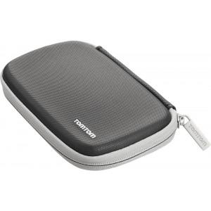
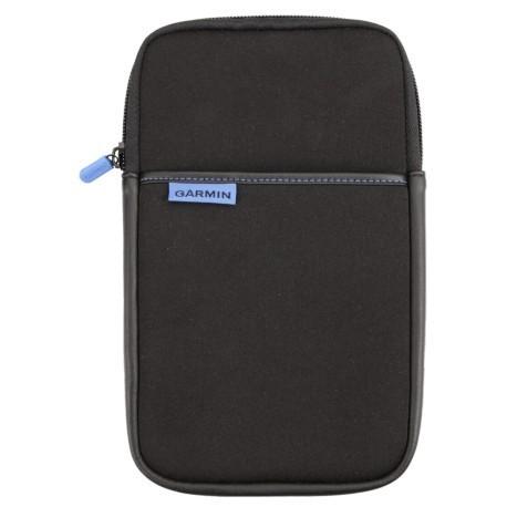
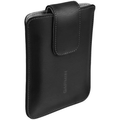
Garmin Universal 7-inch Carrying CaseGet durable all-around protection for your device with this sleek carrying case. This zippered black case surrounds your 7-inch device with foam and gray velvet, protecting it from scratches. Type Protective Case Car Navigation Max. Display Diagonal (inch) 7 Colour Black
TUTVUSTA TÄNAST MINA HOMSELE. Paranda oma vormi iga päev rattakompuutri Edge® 840 abil, millel on puuteekraan ja juhtnupud ning eesmärgipärane kohanduv treeninguabi funktsioon. See on optimaalne varustus, mille abil saad treenida tulevasteks võistlusteks või saavutada vahe-eesmärke. Puuteekraan või nupud? Valik on sinu – sellel Edge’il on mõlemad. Akusäästurežiimis kestab aku ühe laadimisega kuni 42 tundi. Nadui mitmeribalise GNSS-tehnoloogia ülimat täpsust. Sõidu ajal saad vastupidavuse ülevaate funktsiooni abil silma peal hoida sellel, kui kaua suudad veel täis jõuga edasi rühkida. Arenda oma tulemusi igapäevaste treeningsoovituste abil. Sõida rattaga nagu kohalik sõidutüübist lähtuvate kaartide ja navigeerimise abil. PARIMAD FUNKTSIOONID PIKEM AKU KASUTUSAEG Intensiivses režiimis kestab rattakompuutri Edge® 840 aku kuni 26 tundi ja akusäästurežiimis kuni 42 tundi. KOHANDUV JUHENDAMINE Vaata igapäevaseid treeningsoovitusi ja treeningu juhiseid ekraanil; hangi olenevalt eesmärgist isikupärastatud treeninguabi, mis kohandub sinu praeguse treeningkoormuse ja taastumisega. MITME SAGEDUSRIBAGA GNSS Leia oma tee mitmeribalise GNSS-tehnoloogia abil, mis tagab suurema positsioneerimistäpsuse. CLIMBPRO TÕUSUPLANEERIJAT Vaata ülesmäge sõidul järelejäänud tõusu pikkust ja kallet, nii saad ClimbPro, mis on nüüd saadaval igal sõidul ega vaja rada, abil hinnata palju pingutama pead. JALGRATTASÕIDU VÕIMEKUS JA RAJA NÕUDED Võrdle oma rattasõiduvõimekust konkreetse raja nõudmistega ja keskendu õigete valdkondade treenimisele, kui see on ühendatud su ühilduva võimsusmõõturi ja pulsimonitoriga. JÕUDLUSJUHIS Halda oma pingutusi jõudlusjuhistega, milles pakutakse kogu raja jooksul võimsuseesmärke. Selleks pead seadme ühilduva võimsusmõõdikuga paaristama ALISTA IGA TREENINGU ETAPP VALMISTU TREENITUSTASE Hinda oma tulemusnäitajaid, et näha, kas treenid tulemuslikult. KUUMUSE JA KÕRGUSEGA KOHANDUV Vaata, kuidas su keha kuumuse ja kõrgusega kohanemisega toime tuleb. RÜHMA JÄLGIMISE FUNKTSIOON Hoidke funktsiooni GroupTrack abil üksteise asukohal silma peal, korraga saab jälgida kuni 50 sõitjat. SÕIDUSPETSIIFILINE MARSRUUT Vali oma sõidu jaoks sobiv marsruut, olenemata sellest, kas olete mäel, kruusarajal või maanteel. RAKENDUSE TRENDLINE™ POPULAARSED MARSRUUDID Sinu Edge leiab parima marsruudi – valides enim läbitud teede (ja radade) hulgast. SÜNDMUSE EESMÄRGID Vali võistlusdistants ja ajaline eesmärk ning saa iga päev treeninsoovitusi. GARMINI JALGRATTAKAARDID Sõida eellaaditud kaartide abil, mis sisaldavad Trailforksi ülemaailmseid maastikurattaradade andmeid. TREENI JA TEE TULEMUS RATTASÕIDU DÜNAAMIKA Täpsemad rattasõidumõõdikud annavad muutuvates tingimustes sooritusest ülevaate. MTB DÜNAAMIKA Jälgi sõidu vajalikke andmeid nagu hüpete arv, hüppe pikkus ja õhus oleku aeg. MÕÕDIKUD GRIT® JA FLOW™ Grit hindab raja raskusastet. Flow mõõdab, kui sujuvalt sa sellel sõidad. PÖÖRDEST PÖÖRDENI NAVIGEERIMISE ABIL Püsi üksikasjalikke juhiste ja hoiatuste abil kursil. TAGASI ALGUSESSE Kui oled eksinud või tahad varakult koju minna, naase rajale või alguspunkti. TOITUMISE JA VEETARBIMISE HOIATUSED Hoolitse sõites enda energiavarude eest märguannete abil, mis annavad teada, kui on aeg juua või süüa. VASTUPIDAVUSE SOOVITUSED Hangi sõidu ajal vastupidavuse ülevaateid, et saaksid jälgida, kui palju jõuvarusid sul veel jäänud on. JALGRATTASÕIDU OHUTUS JA TEADLIKKUS ÜHILDUV VARIA™ SEADMETEGA Seo oma Edge’i seade enda Varia tahavaateradari ja nutikate tuledega, et näha ja olla nähtav. JUHTUMITUVASTUS See funktsioon saadab sinu asukohaga3 sõnumi hädaolukorra kontaktisikutele, kui maanteel või maastikul on juhtunud intsident. FUNKTSIOON LIVETRACK Kui seade ühilduva nutitelefoniga seotud, saavad lähedased sinu asukohta jälgida. JALGRATTA ALARM PIN-koodiga kaitstud häire annab sinu ühilduva nutitelefoni kaudu märku, kui sinu jalgratast liigutatakse. SEADME INREACH® ÜHILDUVUS Püsi ühenduses kõikjal, kus sõidad, sidudes selle oma ühilduva inReachi seadmega. ÜHENDUVUS NUTITEAVITUSED Saa tekstsõnumeid ja teavitusi oma Edge’i rattakompuutrisse, kui oled selle ühilduva nutitelefoniga sidunud. NUTIKA TREENERI ÜHILDUVUS Selle Edge’i saab siduda sisetrenažööriga, et saaksid jälgida oma koduseid sõite. ELEKTRIRATTA ÜHILDUVUS Ühenda see oma ANT+® tehnoloogia või SHIMANO STEPSiga ühilduva elektrirattaga. CONNECT IQ™ POOD Laadi alla kohandatavaid andmevälju ning hangi rakendusi ja vidinaid meie Connect IQ Store’i nutitelefonirakendusest. RÜHMASÕNUMID Kui see on ühilduva nutitelefoniga seotud, saad oma kambale sõnumi saata, kui üksteist silmist kaotate.
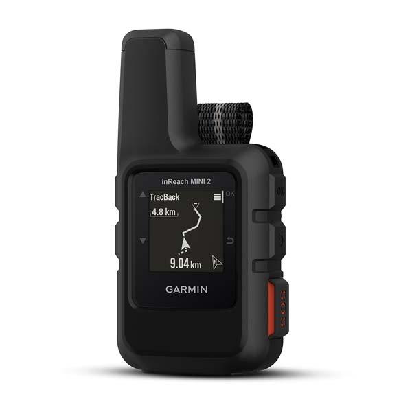
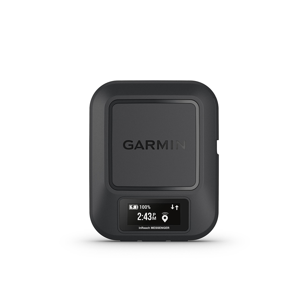
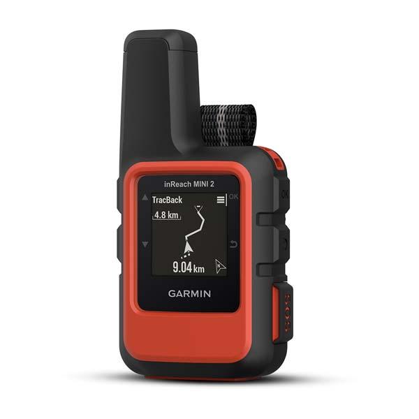
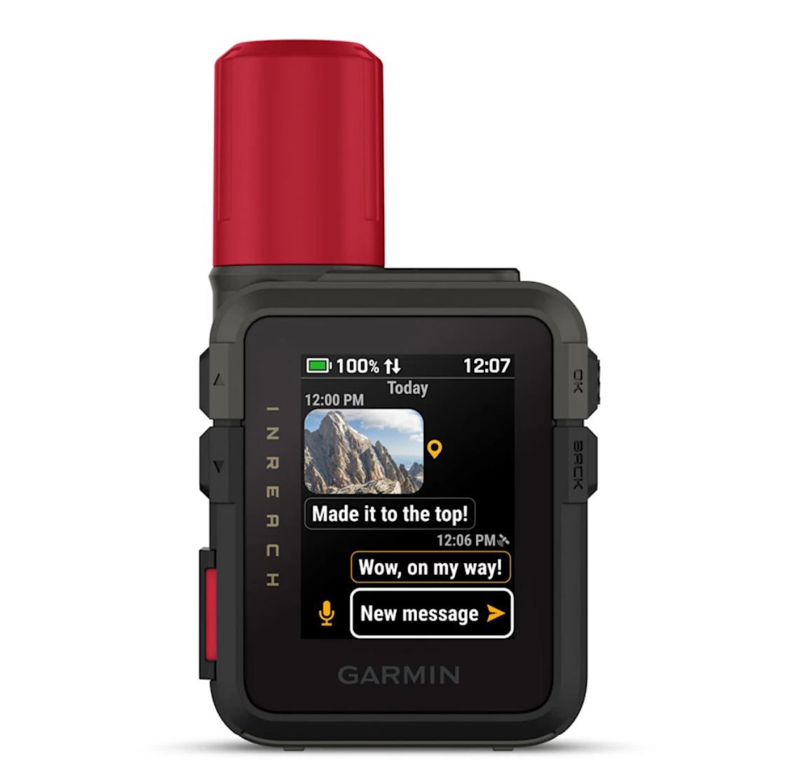
KODU ON LÄHEMAL KUI ARVAD Kui liigud levialast välja, hoiab see väike ja vastupidav satelliitsidevahend1 sind sõprade ja perekonnaga ühenduses kahesuunalise ülemaailmse tekstsõnumside abil. Saad oluliste inimestega kontakti hoida ka siis, kui asud mobiilside levialast väljas. Seo oma inReach seade ühilduvas nutitelefonis rakendusega Garmin Messenger™ ja saada tekstsõnumeid satelliit- või mobiilsidevõrgu kaudu. Vajad hädaolukorras abi? Saada meie koordineerimiskeskusesse interaktiivne SOS-sõnum. Kui vajad meelekindlust, kuvab seadme ekraan, kas sõnum on saadetud. Liikudes kontaktidega ühenduses püsimiseks kasuta eelmääratud sõnumeid. Kuni 28 päeva vastu pidava akuga on sinu seiklused pikemad. .
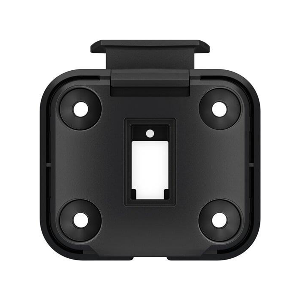
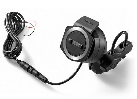
Mount your zūmo® to your motorcycle with this bracket that attaches to the bike´s handlebars using a separate mounting kit (sold separately). Hardware to attach the bracket to your compatible zūmo is included. Sobib järgmistele Garmin toodetele: Garmin Tread / Tread Base Edition Garmin zumo XT
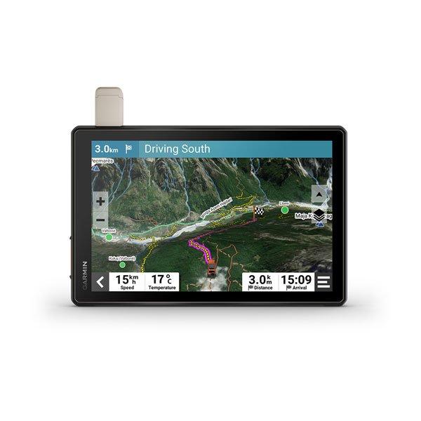
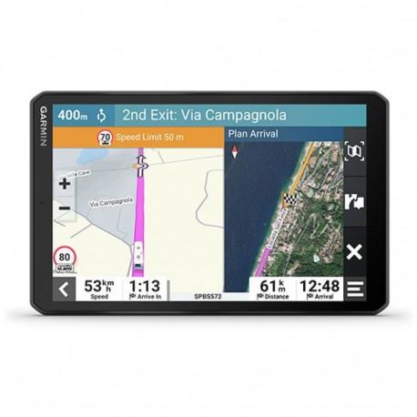
Seikle tundmatuses See eriti suur ja vastupidav maastikusõidu sat-nav, mis on loodud reisi igaks osaks, sisaldab kaardistamist, mida vajad õigel teel püsimiseks, ja sidetehnoloogiat, et püsida sõidu ajal ühenduses. Navigeeri katteta teedel ja radadel OpenStreetMapi (OSM) üksikasjalike navigeerimisjuhiste1 abil. Kohandatud marsruudid vastavalt sinu varustuse suurusele ja kaalule2 ning eellaaditud iOverlander™-i huvipunktid (POI-d) aitavad sul leida kohti, kuhu laager üles seada. See vastupidav sat-nav on IP67 ilmastikukindel ja sellel on 10″ üliere puutetundlik ekraan. Vaadake allalaaditavate tellimisvabade BirdsEye satelliidipiltide abil üksikasjalikke õhuvaateid maastikust. Kasuta oma ühilduvas nutitelefonis Tread® rakendus3 ühilduvas nutitelefonis, et sünkroonida andmeid erinevates seadmetes ja planeerida marsruute. Meelerahu kuulub komplekti. Aktiivse tellimusega saate kasutada inReach® tehnoloogiat ülemaailmseks satelliitsuhtluseks. Valmis eesootaval teekonnal vastu pidama. VASTUPIDAVUS MAASTIKUL Spetsiaalselt maastikusõiduks loodud Tread seade on vastupidav kõikvõimalikes ilmastikutingimustes. Selle veekindluse hinnang on IP67. KÕRGNÄHTAVUSEGA EKRAAN Oma üliereda 10″ kindasõbraliku puuteekraaniga sat-nav on loodud hõlpsaks vaatamiseks eredas päikesevalguses või kottpimedas. Võimalik paigaldada nii horisontaalselt kui vertikaalselt. RADADEL NAVIGEERIMINE Tunne rõõmu üksikasjalikest radade navigeerimisjuhistest1, kui läbid katteta teid ja radu OSM-i kaartidest koosnevate seikluslike teede ja radade kaardisisu abil. SISSEEHITATUD INREACH TEHNOLOOGIA Sisseehitatud inReach-tehnoloogia pakub ülemaailmset satelliitsidet, kahesuunalisi tekstsõnumeid, asukoha jagamist, interaktiivseid hädaabi- ja ilmateateid4. KAARDID TEEDEKS JA MAASTIKEKS Tread sisaldab eelsalvestatud topograafilisi kaarte 3D maastikuga ja tänavakaarte Euroopa, Aafrika, sealhulgas Tracks4Africa ja Lähis-Ida kohta. See sisaldab ka üksikasjalikke Euroopa tänavakaarte koos teie varustuse2 suuruse ja kaaluga kohandatud marsruutimisega. Põhja- ja Lõuna-Ameerika, Austraalia ja Uus-Meremaa kaardid on tasuta allalaadimiseks saadaval aadressil garmin.com/express. SATELLIIDIPILDID Nautige üksikasjalisi õhuvaateid laadides alla kõrge eraldusvõimega BirdsEye satelliidipildid otse oma seadmesse Wi-Fi®-ühenduse kaudu, ilma et oleks vaja aastatellimust. HUVIPUNKTID Treadil on eelsalvestatud iOverlander huvipunktid, ACSI™, Campercontact™ ja Trailer’s PARK™, seega pole sul vaja sobiva asukohaga, metsiku ja muust eraldatud laagriplatsi leidmiseks mobiililevis olla. ABC-ANDURID Raskele maastikule suundudes tulevad kasuks sisseehitatud andurid – sealhulgas kõrgusmõõtur, baromeeter, kompass ja kaldemõõtur. TURVAKINNITUS Kasuta kaasasolevat lukustatavat magnetiga kinnitust, et kinnitada sat-nav oma sõidukile. Vingemaks seikluseks loo ühendus. GROUP RIDE MOBILE Ühenda oma seade rakendusega Tread, et jälgida oma sõpru telefonis funktsiooniga Group Ride Mobile3. LIHTNE TEEKONNAPLANEERIJA Marsruutide hõlpsaks kavandamiseks oma Treadi seadmes olevate kaartide, sõidukiprofiilide ja marsruudieelistustega kasuta rakendust Tread. SÜNKROONI SEADMED VAEVATA Kasuta rakendust Tread, et sünkroonida teekonnapunktid, rajad, marsruudid ja kogud kõigis oma seadmetes. Samuti saad hõlpsalt importida ja jagada GPX-faile. REAALAJAS ILMATEADE Mis ilm eespool ootab? Ühenda Tread seade oma nutitelefoniga ning laadi alla rakendus Tread, et vaadata reaalajas ilmateadet, tormihoiatusi, animeeritud radarit ja veel muudki. Maastikusõiduvarustus avastusretkedeks. LISAVARUSTUSE JUHTIMINE Seo Tread ühilduva Garmini PowerSwitch™ digitaalse lülituskarbiga (müüakse erladi), et võimaldada 12-voldiste elektroonikaseadmete ekraanilt juhtimist – valgustusribad, diferentsiaalilukk jne. RÜHMASÕIDU JÄLGIJA Seo oma seade ühilduva rühmasõidu jälgijaga (müüakse eraldi) grupi jälgimiseks5 ja eelseadistatud sõnumid. JÄLGI OMA KOERAKARJA Ühenda Tread juhtmevabalt valikuga Garmini GPS koerajälgijad (müüakse eraldi), et aidata teie sportkoeri maastikul jälitada ja kätte saada. Näed iga koera jälgimisalas olevaid markereid, näidatud kaardikihina otse sat-nav kaardiekraanil. Sobib järgmisele Garmin toodetele: Garmin Alpha 100 / 200i Garmin PowerSwitch Garmin Pro 550 Plus
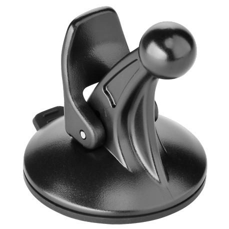
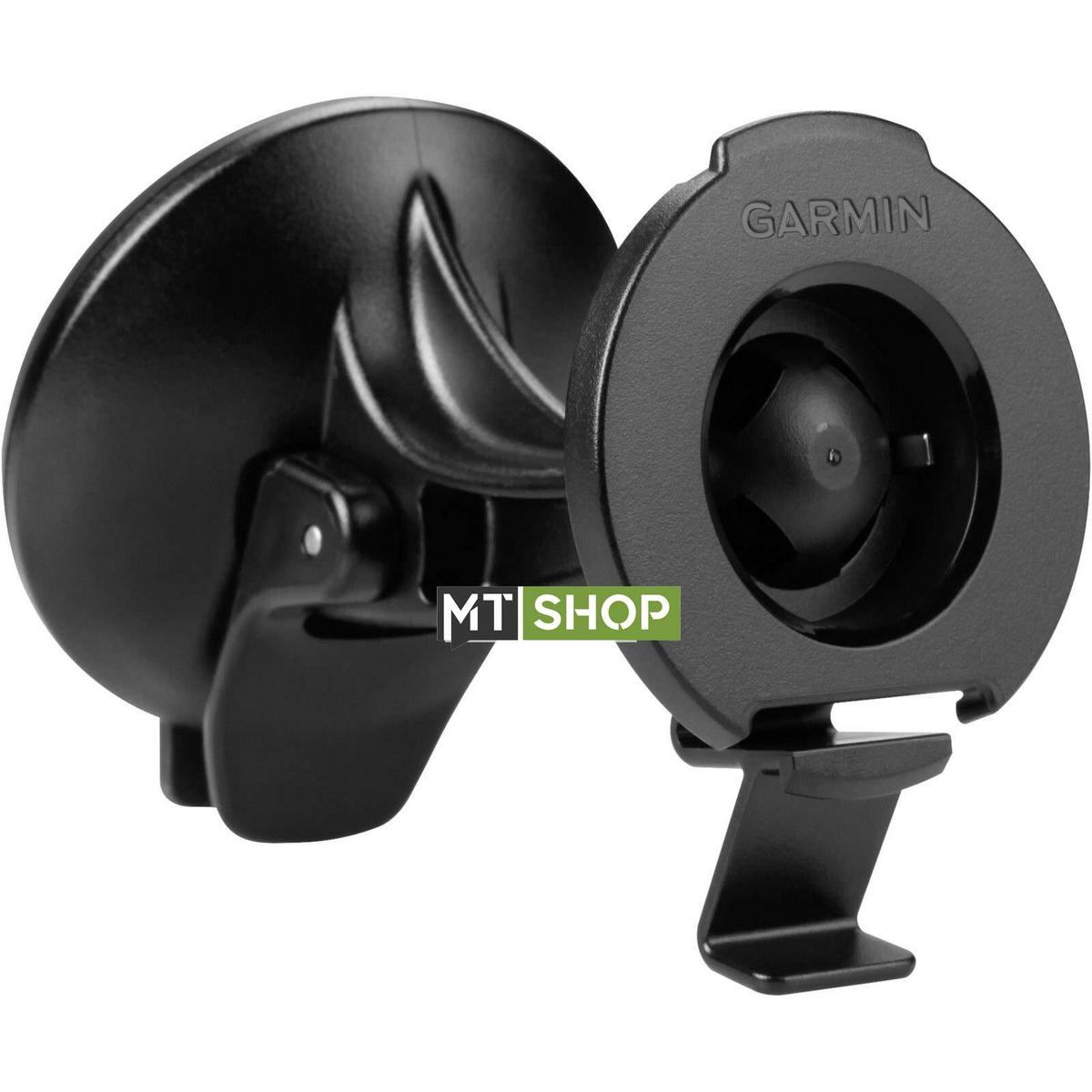
For easy viewing, use this suction cup mount to secure your device on your windshield or any smooth, flat surface. Type Navigation Mount Operating Range Motor Vehicle
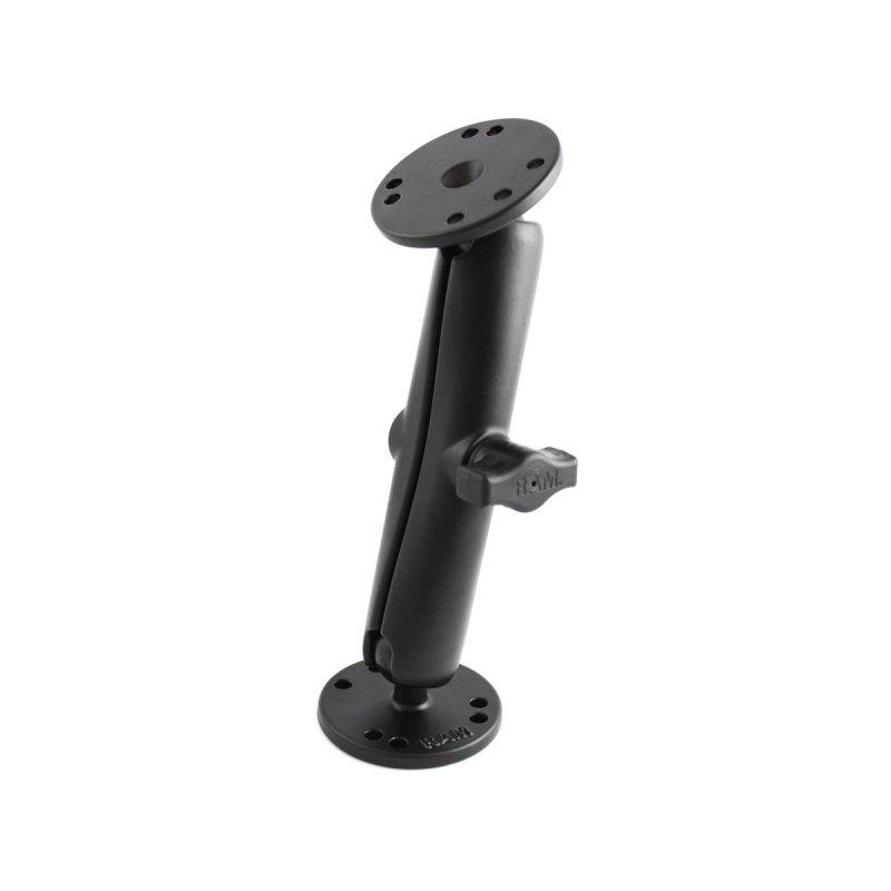
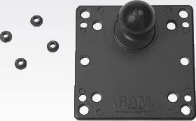
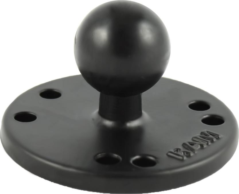
The RAM-B-202U consists of a B Size 1" diameter rubber ball connected to a flat 2.5" diameter plate. This mount has pre-drilled holes, including the universal AMPs hole pattern.
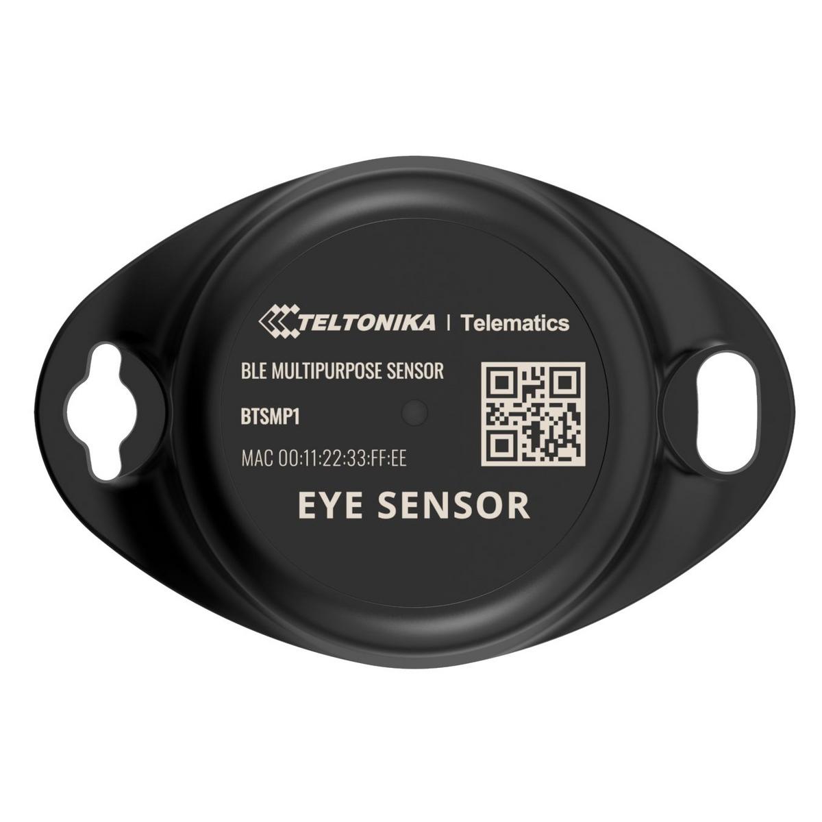
Wireless solutions open up new horizons for your business and help to keep an eye on your assets. Discover brand-new and certified Bluetooth Low Energy ID sensor model from Teltonika with robust waterproof casing and a long-lifetime battery. The model designed for a low-cost fast and easy configuration and integration to save precious time resources and ensure accountability.Perfect for traceability use cases delivery tracking monitoring of various movable objects in logistics (trailers containers) agriculture (tractor attachments) and constructions (tools and inventory). Sensors data makes it especially suitable for cold chain refrigerator use cases. The built-in accelerometer can detect item movement or fall events. Magnet detection can be used for wireless open/close detection and notifications such as trailer door events etc. EYE sensor supports iBeacon and Eddystone protocols. The device is fully compatible with the Teltonika firmware platform which provides extended functionality. Configure scan and update anytime anywhere with a dedicated Teltonika mobile app
TÄHELEPANU. VALMIS OLLA. MATKAMA.Seikle muretult selle kasutajasõbraliku käeshoitava GPS-naviseadme abil, millel on kauakestvam aku, juhtmeta ühenduvus ja multi-GNSS-tugi, et saaksid avastusretki rohkem nautida.Suure eraldusvõimega 2,2″ ekraaniga pole ere päikesevalgus probleemiks.Mine sagedamini välja, sest aku kestab kuni 168 tundi.Kas sind paelub geopeitus? Hangi Geocaching Live’i automaatseid uuendusi ja leia oma järgmine peidik.Loo ühendus Garmin Explore™-i nutiseadme rakendusega ja kavanda reise jpm.Vajad täpset jälgimist? Multi-GNSS-toega on see sul ka keerukates keskkondades olemas.Hoia suunda digitaalse kompassi abil ja püsi alati kursil.Leia rohkem lustiMULTI-GNSS-I TUGILigipääs mitmetele globaalsetele satelliitnavigatsioonisüsteemidele (GPS, GLONASS, Galileo, BeiDou ja QZSS), et jälgida keerulisemas keskkonnas kui ainult GPS-iga.GEOPEITUSPeidiku automaatsed uuendused, sh kirjeldused, logid ja vihjed otse teenusest Geocaching Live. Kui oled loonud ühenduse rakendusega Garmin Explore, laaditakse kõik leiud sinu Geocaching.comi profiili üles.DIGITAALNE KOMPASSJälgi oma asukohta digitaalsel kompassil, mis annab täpse suuna isegi paigal olles.ACTIVE WEATHERKui oled loonud ühenduse rakendusega Garmin Explore, saad reaalajas ilmateavet, et teaksid, kui tingimused muutuvad.AKU KASUTUSAEGKahe vahetatava AA-patareiga (ei kuulu komplekti) kestab aku tavarežiimis kuni168 tundi ja ekspeditsioonirežiimis kuni 1800 tundi.RAKENDUS GARMIN EXPLOREJuhtmevabade tarkvarauuenduste, pilvepõhise salvestusruumi, retke kavandamise, nutimärguannete ja lisakaartide kasutamiseks loo ühendus rakendusega Garmin Explore.
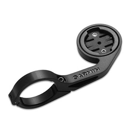
Edge 800, 500, 200 ning Forerunner 310XT ja Forerunner 910XT etteulatuv rattahoidik leistangile. Edge või Forerunner kinnitub hoidikule vaid veerand pöördega. Komplektis hoidik, kummist alus ja kummist paelad., Forerunner 310XT ja ...
Garmin 4.3" Carrying CaseGet premium, scratch-resistant protection for your device. This sleek leather case supports your 4.3" nüvi® while the soft fabric interior provides durable all-around protection. The case secures with a magnet.Compatible Devices: nüvi 2447LMTnüvi 2497LMT Type Protective Case Car Navigation Max. Display Diagonal (inch) 4,3 Colour Black
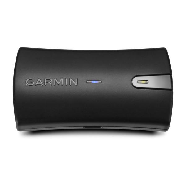
Navigate with Garmin caliber GPS data on the mobile device of your choice. The GLO 2 receiver brings you the best of both worlds by combining GPS and GLONASS receivers with Bluetooth® wireless technology so you can enjoy precise ...
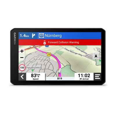
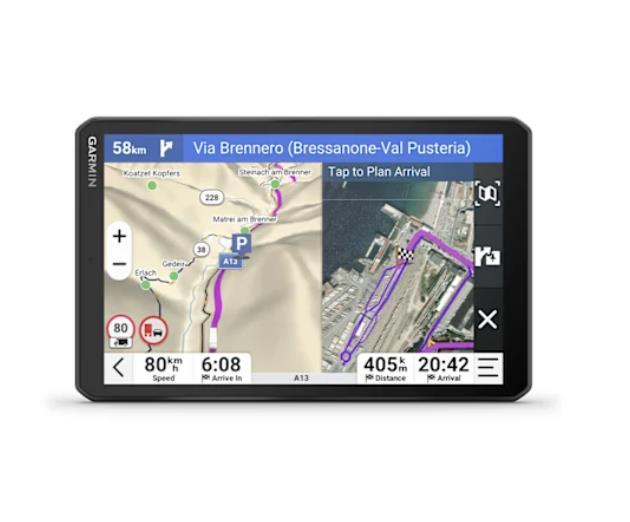
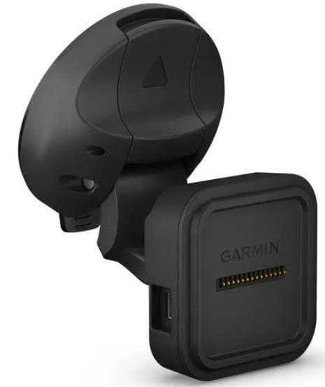
Paigaldage navigeerimise ajal ühilduv seade selle iminapa kinnitusega, mis sisaldab varukaamera ühilduvuse jaoks videosisendi porti (kaamera ei kuulu komplekti). Toiteallikaga magnetkinnitus laeb teie seadet sõidu ajal. Lihtsalt imege oma alus tuuleklaasile või mis tahes siledale tasasele pinnale. Sisaldab iminapa kinnitust ja magnetkinnitust. Selle kinnituse kuulliigendi suurus on 0,67” (17 mm).Ühildub:Camper 785 & Digital Trafficdēzl™ 780 LMT-SdēzlCam™ 785 LMT-S
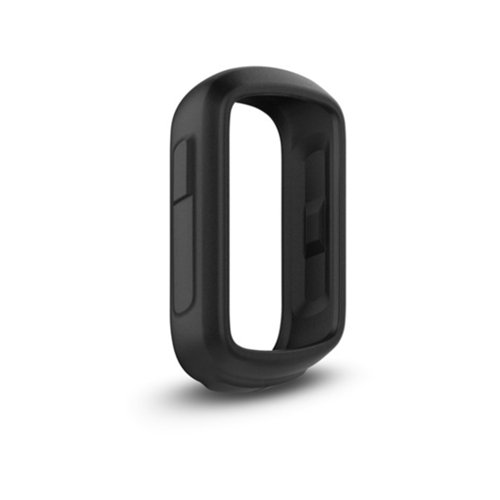
Protect your Edge® 130 with this form-fitting, removable silicone case. Also available in other colors (sold separately). Sobib järgmistele Garmini toodetele: Garmin Edge 130 / 130 Plus / 130 Plus MTB
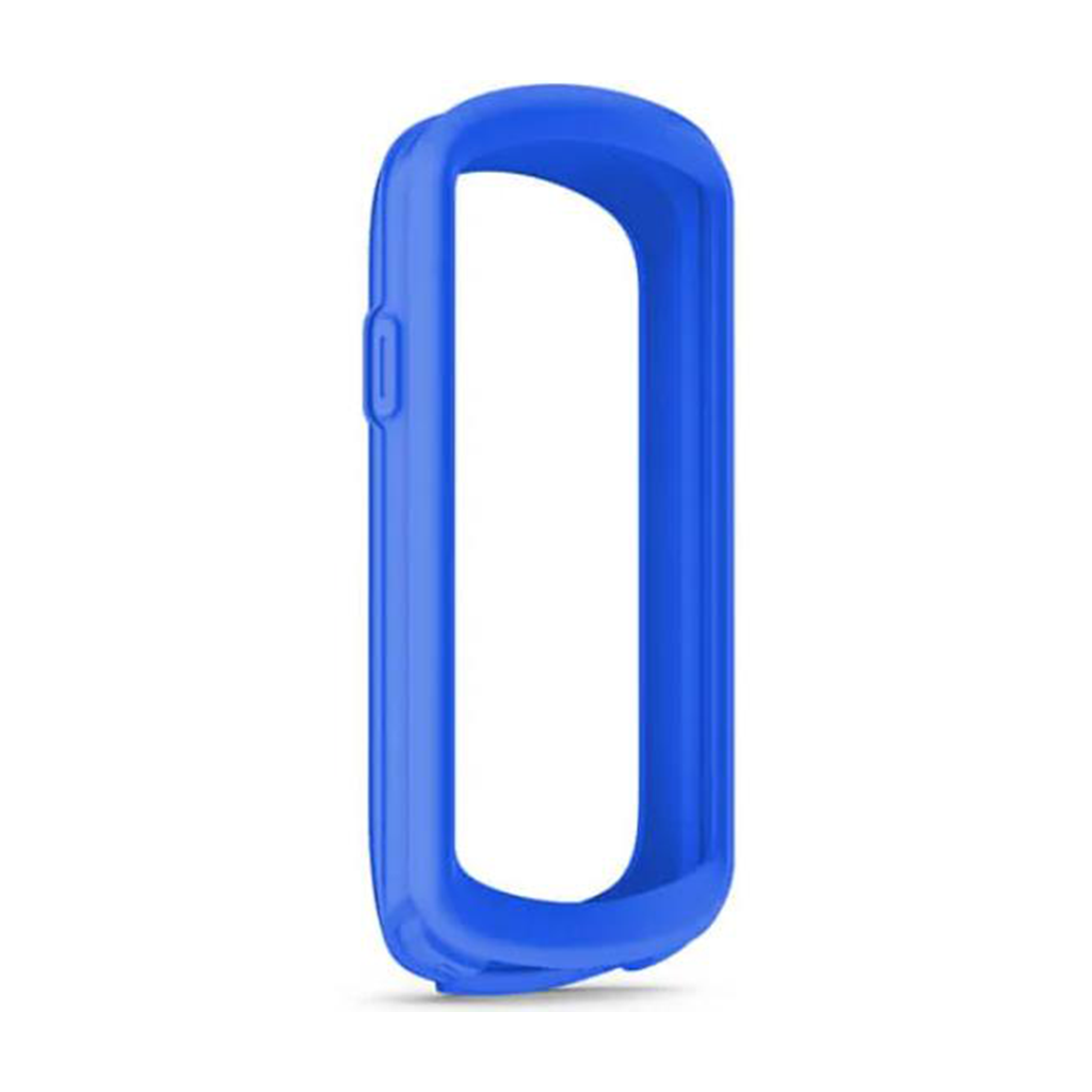
Kasuta oma ühilduva Edge® seadme kaitseks eemaldatavat silikoonkorpust. Saadaval ka teistes värvitoonides (eraldi müügil). Sobib järgmistele Garmini toodetele: Garmin Edge 1040 / 1040 Solar