
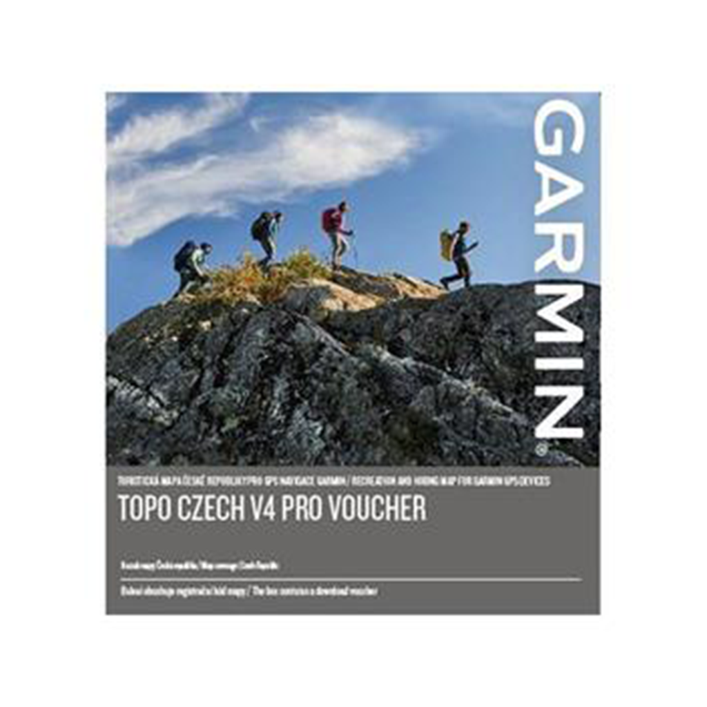
 GPS lisaseade Garmin TOPO Czech v4 Pro Download Voucher Detailed tourist map of the Czech Republic with active routing in the form of a voucher for direct download of the map to a compatible* device. - Coverage of the entire territory of the Czech Republic with topographic data on a scale of 1:10,000 - Active routing with calculation of the most suitable route according to the type of outdoor activity chosen (offers more routes distinguished by color according to the type of activity: e.g. for pedestrians, cyclists, etc.) - Navigation by road network with a total length of more than 355,000 km, more than 58,000 km of hiking trails and footpaths and more than 43,000 km of cycle paths and bike paths - More than 464,000 searchable points of interest, including recreational facilities, restaurants, stations and stops, important geographic cities and others - Compatible with the free BaseCamp ™ application for simple and clear planning of routes and waypoints on a computer and subsequent export to a compatible Garmin device. | 1 | 79,00 € | Vaata | ||
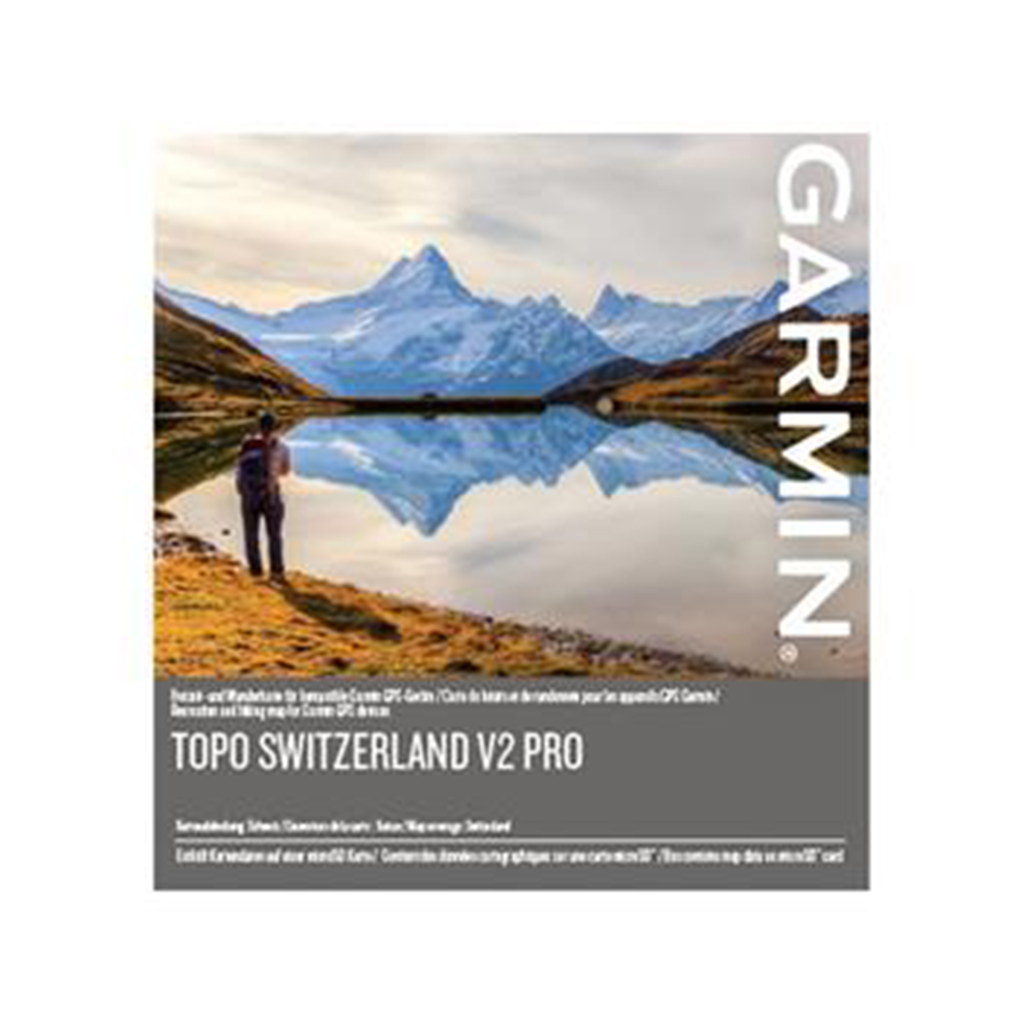 GPS lisaseade Garmin TOPO Switzerland v2 Pro Make your holidays and recreational activities in Switzerland even more enjoyable with the first Garmin branded topographic map for the Swiss Confederation and Principality of Liechtenstein. With specific recreational maps for summer and winter, this topographic product surpasses any previously available mapping content, and is by far, the most updated and detailed map available for your Garmin outdoor handheld devices. Covers the entire territories of Switzerland and Liechtenstein in 1 easy plug-and-play microSD™ card, with topographic data from the Federal Office of Topography swisstopo at a scale of 1:25,000 Features ActiveRouting¹, which allows you to plan and customize routes using the entire road and trail network; the activity specific map display shows content in different colors for the various activities Popularity routing is available for devices supporting this feature Displays additional topographical raster maps at a scale of 1:25,000 from the Federal Office of Topography swisstopo Offers a special map layer for winter activities, such as ski tours, snowshoe tours and steep slopes Includes more than 750 “Named Trails” for hiking, tour cycling and mountain biking trails supplied by SwitzerlandMobility and the alpin huts by Cabanes Suisses (www.schweizer-huetten.ch) Non-routable MTB transparent overlay with trail network provided by Singletrail Compatible with free BaseCamp™ software, that lets you plan trips on your computer, as well as transfer routes and waypoints from your computer to your compatible device. Ühilduvad seadmed : Garmin Alpha 100 / 200 / 200i / 300 / 300i / 50 Garmin D2 Mach 1 Pro Garmin Dakota 20 Garmin epix Pro Gen2 Sapphire 51mm / Pro Gen2 Standard Garmin eTrex 20 / Touch 25 / Touch 35 Garmin GPSMAP 276Cx / 62s / 62sc / 62st / 62stc / 64 / 64s / 64st / 64sx / 64x / 65 / 65s / 66i / 66s / 66sr / 66st / 67 / 67i / 78 / 78s / 79s / 86i / 86s Garmin Montana 600 / 610 / 650 / 650t / 680 / 680t / 700 / 700i / 750i Garmin Monterra Garmin Oregon 450 / 450t / 550 / 550t / 600 / 600t / 650 / 650t / 700 / 7050 / 750t Garmin Tread / Base / Overland / SxS / XL- Baja Chase / XL- Baja Race / XL- Overland Garmin zumo XT2 | 1 | 115,00 € | Vaata |