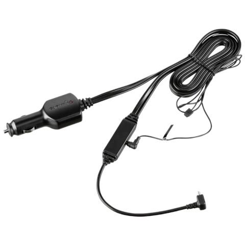
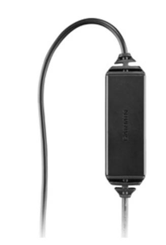
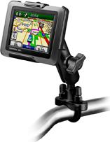
Toitejuhe ja laadija koos FM liiklusinfo vastuvõtjaga ühes kaablis. GTM 70 juhe pakub liiklusinfot sinu ühilduvale Garmin seadmele., Kasutades liiklusinfot, teatab sinu Nüvi eesolevatest ummikutest ja näitab ka liiklustihedust. ...
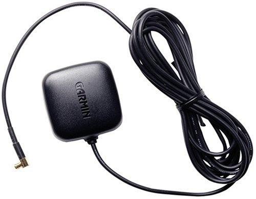
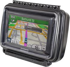
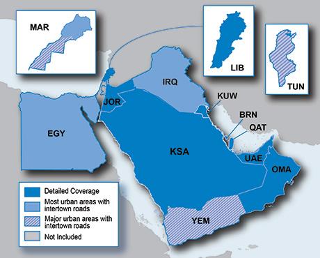
Kui Teie autol on tugev kuumust peegeldav esiklaas, siis ei pruugi GPS signaal sealt hästi läbi tulla., Hädast aitab välja lisaantenn. Sisse-ehitatud magnet katusele paigaldamiseks ja MCX ühendus., Kaabel 2,5 meetrit pikk., Mõõdud ...
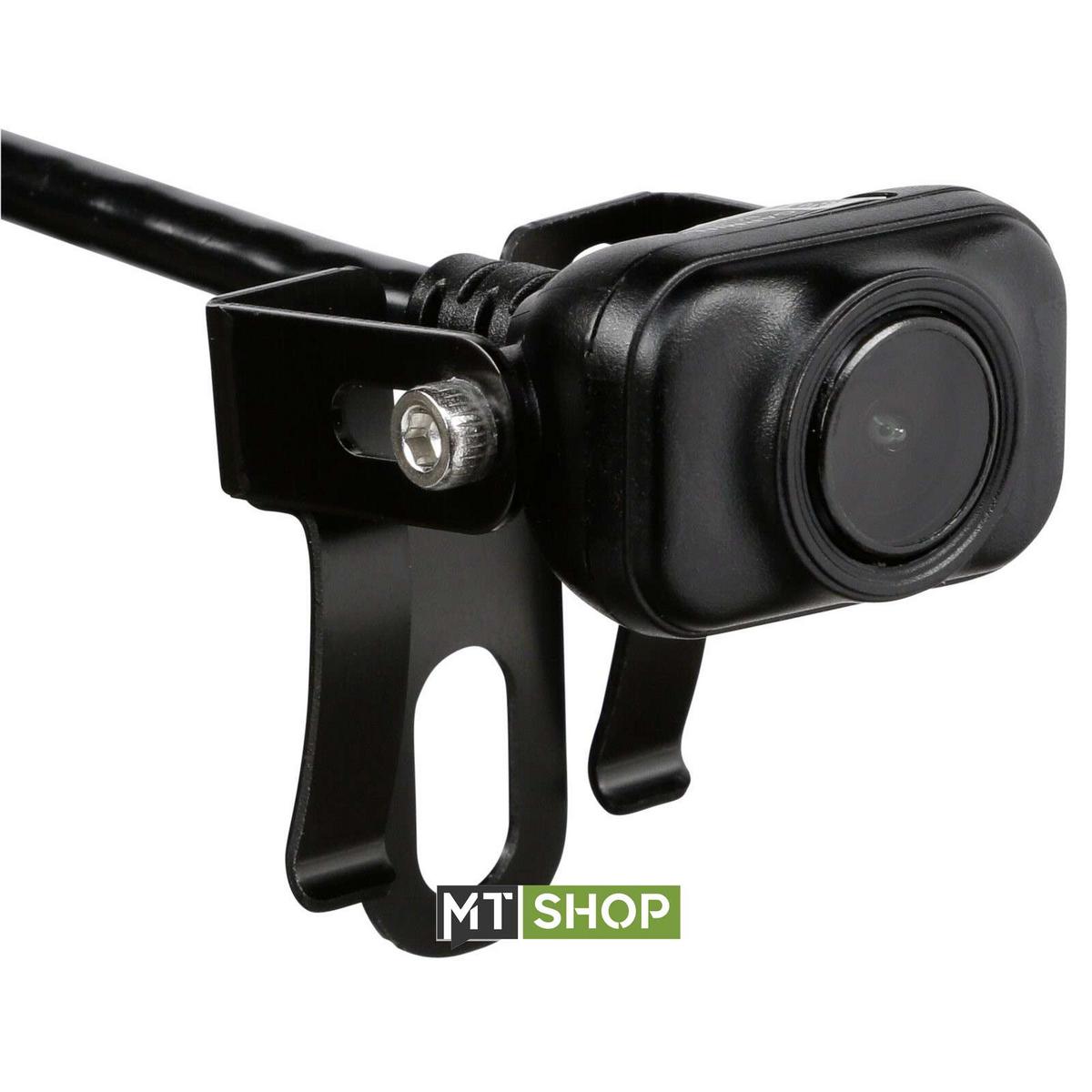
160° wide-angle field of view shows what’s behind your vehicle when in reverse; Built-in Wi-Fi transmits Live Camera view to your compatible GPS navigators display; If desired, wire to constant power and toggle easily between ...
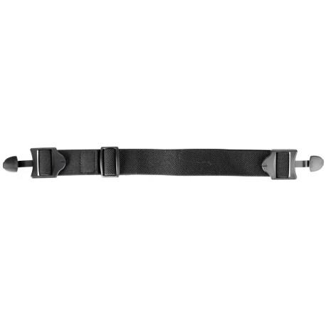
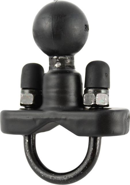
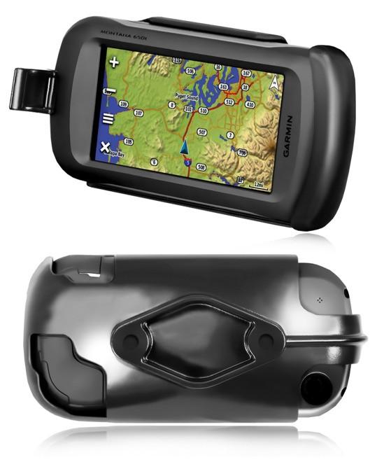
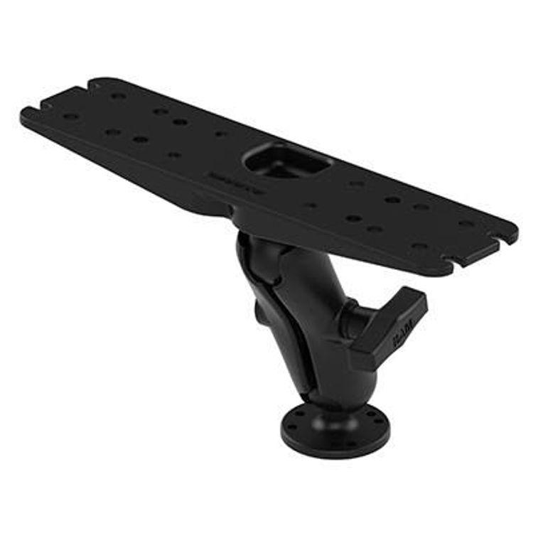
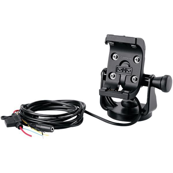
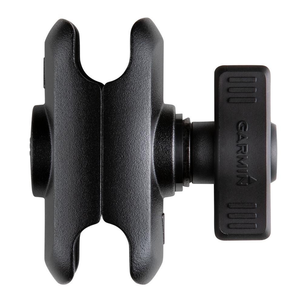
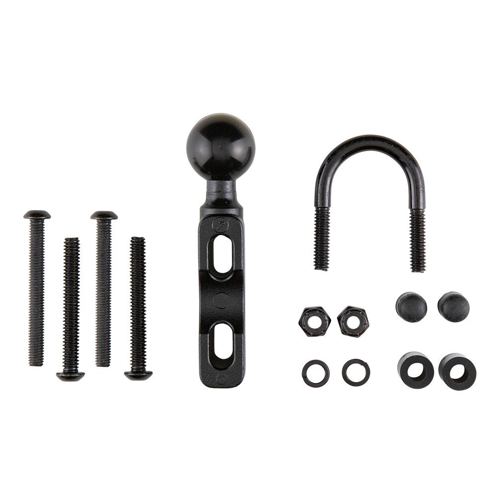
Monatana merehoidik. Komplekt sisaldab hoidikut, võimalust ühildada RAM kinnitusega ja lahtiste juhtmeotste ning kaitsmega toitejuhet koos audio ja andmete otstega.
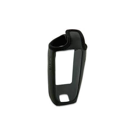
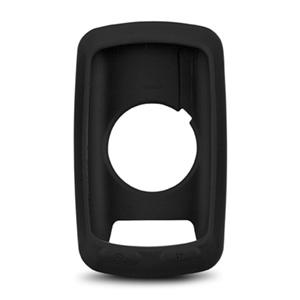
Black close-fitting removable silicone skin; Protects your Garmin Edge 800/810 from bumps, knocks and scratches; Allows easy access to buttons, touchscreen, USB and microSD slot; Suitable for road cycling or mountain biking to ...
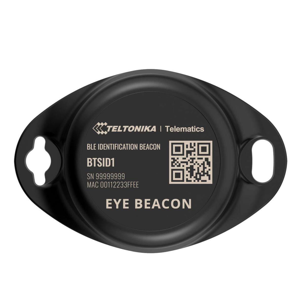
Wireless solutions open up new horizons for your business and help to keep an eye on your assets. Discover brand-new and certified Bluetooth Low Energy ID beacon model from Teltonika with robust waterproof casing and a long-lifetime battery. The model designed for a low-cost fast and easy configuration and integration to save precious time resources and ensure accountability.Perfect for traceability use cases delivery tracking monitoring of various movable objects in logistics (trailers containers) agriculture (tractor attachments) and constructions (tools and inventory). Also it is suitable for indoor tracking solutions for items tracking in warehouses hospitals transport hubs and other types of industrial areas. EYE beacon supports iBeacon and Eddystone protocols. The device is fully compatible with the Teltonika firmware platform which provides extended functionality. Configure scan and update anytime anywhere with a dedicated Teltonika mobile app.
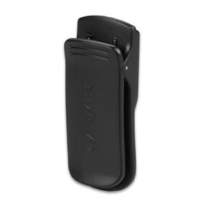
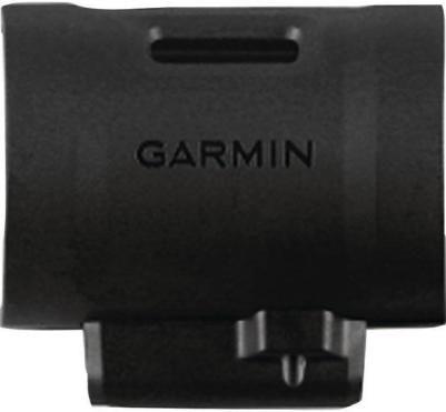
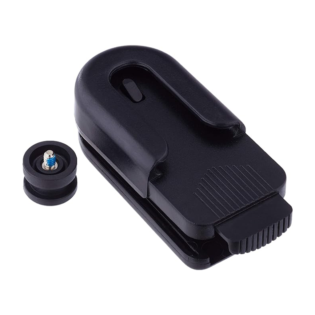
Laadige oma DC™ 40 uuesti. See klamber töötab sõiduki toitekaabli või vahelduvvooluadapteriga (müüakse eraldi). Sobib järgmistele Garmini toodetele : Garmin DC 40 Dog Tracking Collar
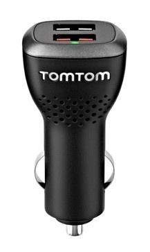
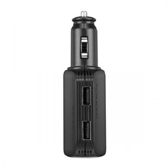
Ühendage 2 kiiret USB-porti oma auto 12 V pistikupessa ilma ühilduva seadme toidet kaotamata. Kasutage iga USB-porti, et laadida oma telefoni, tahvelarvutit või mõnda muud toidet vajavat seadet liikvel olles. SISEND: 10-30V, 5,4A max.USB väljund: 4,75-5,25 V 2,1 AVäljundpesa: 10V 2,4A max. -> 30 V 0,8 A max.*See laadija annab toite, kuid ei lae Rino® 650/650t kaasaskantavaid seadmeid.
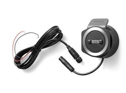
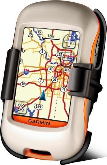
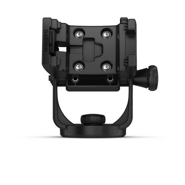
Selle hoidiku1 ja kinnitusvahenditega saad oma ühilduva seadme veele kaasa võtta. Komplekti kuulub hoidik, kinnitusvahendid ja kaabel voolu-, heli- ja andmejuhtmete ühenduse loomiseks. Sobib järgmistele Garmini toodetele: Garmin Montana 700 / 700i / 750i
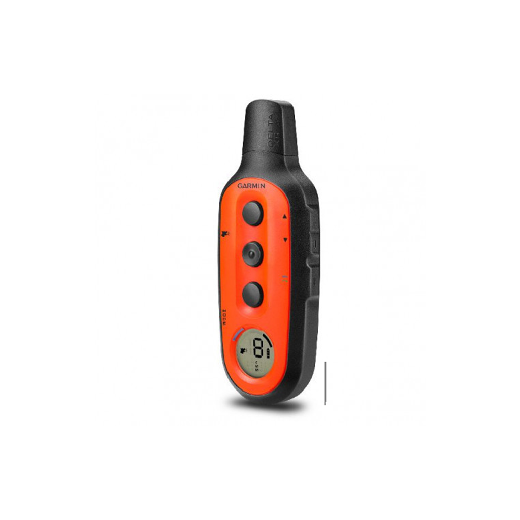
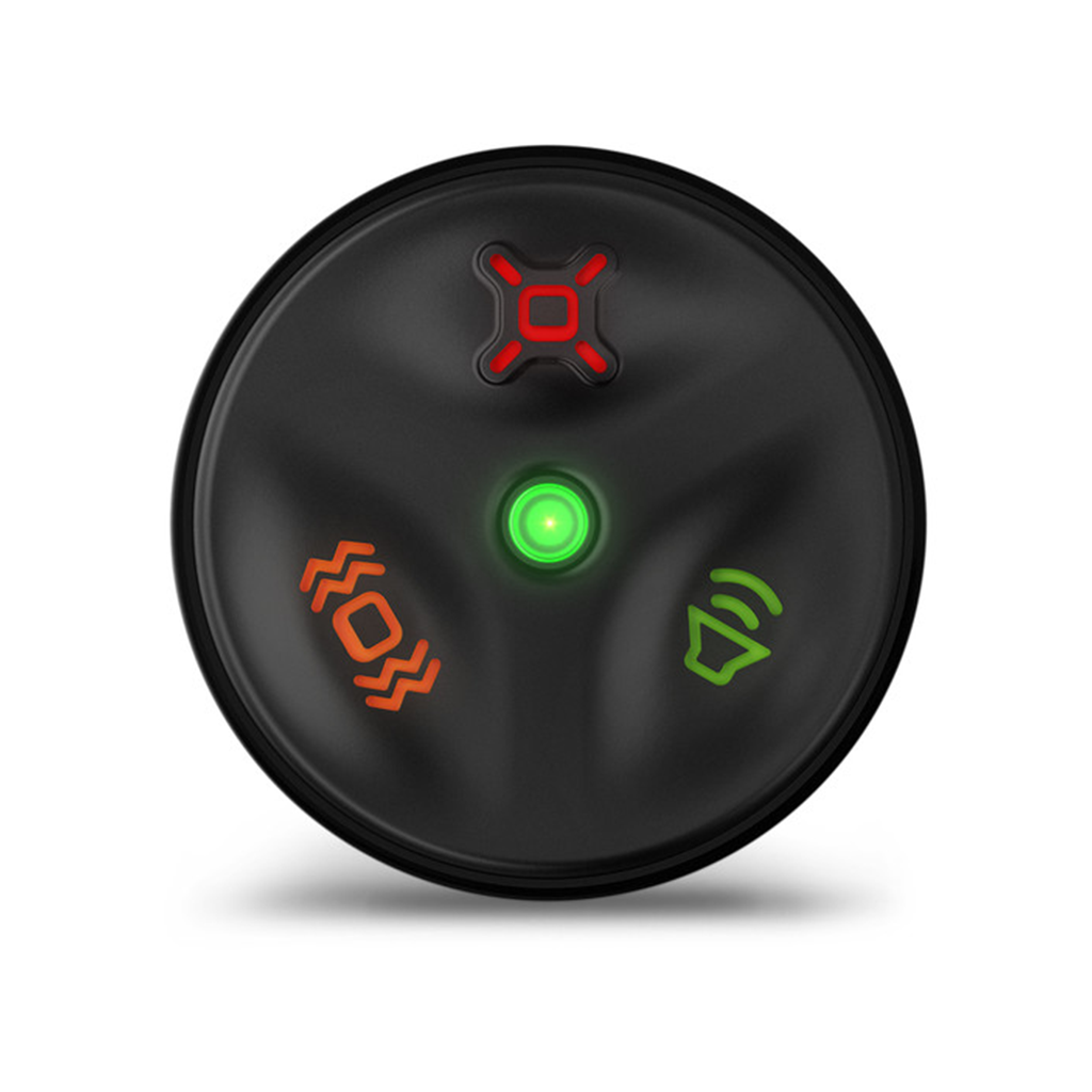
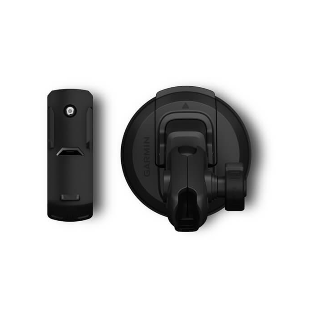
The Delta Canine remote provides convenient 1-handed, no-look training. This tactile remote control looks much like a key fob — and works just as quickly — so you are ready to react in any situation. The 3 buttons control stimulation, tone and vibration on the dog device (sold separately). Use it from up to 10 meters away, and slip it easily into a pocket for discreet training wherever needed. Set up your remote with the Garmin Canine™ app , and review your training sessions. The replaceable CR2032 battery lasts up to 1 year and features an automatic sleep mode to save battery life. Green LED light indicates when a button has been pressed.
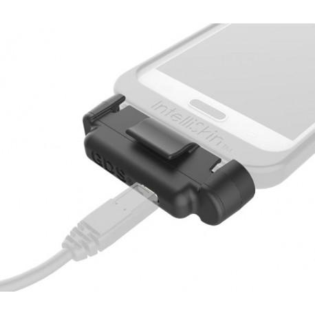
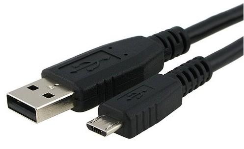
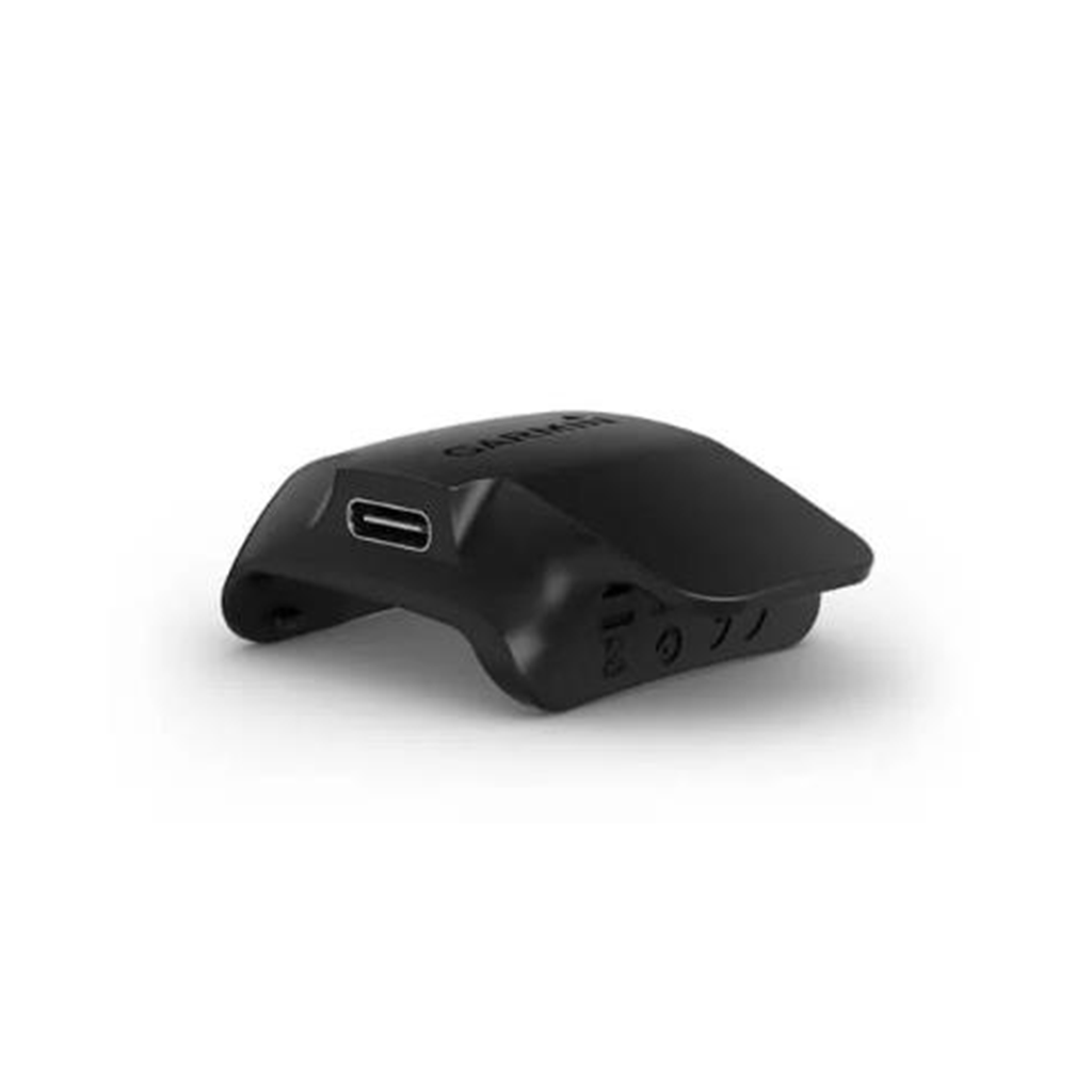
Snap your compatible dog device to this charging clip when not in use to recharge your battery. The USB cable (sold separately) is plugged into the USB C port on the side of the charging clip.
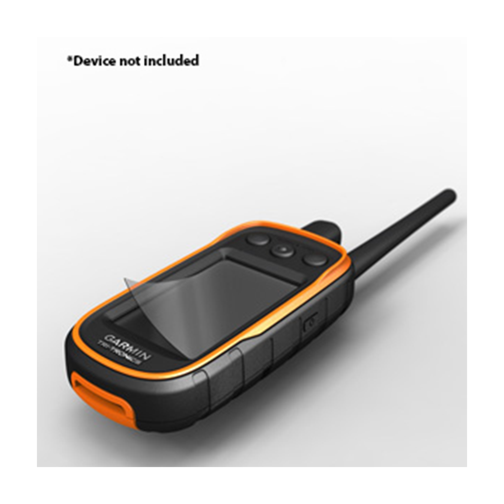
These screen protectors reduce sunlight glare, minimize fingerprint smudges and protect against scratches on your compatible dog training handheld. Includes 3 per package. Sobib järgmistele Garmini toodetele: Garmin Alpha 100 Garmin With TT 15/TT 15 Mini
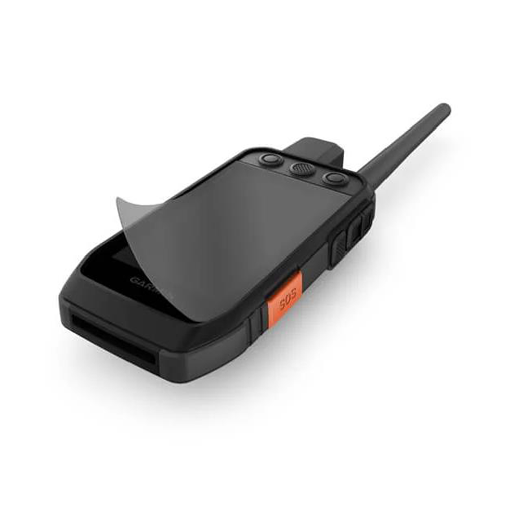
This screen protector reduces sunlight glare, minimizes fingerprint smudges and protects against scratches on your compatible dog training handheld. Includes 1 per package. Sobib järgmistele Garmini toodetele: Garmin Alpha 200 / 200i / 300 / 300i
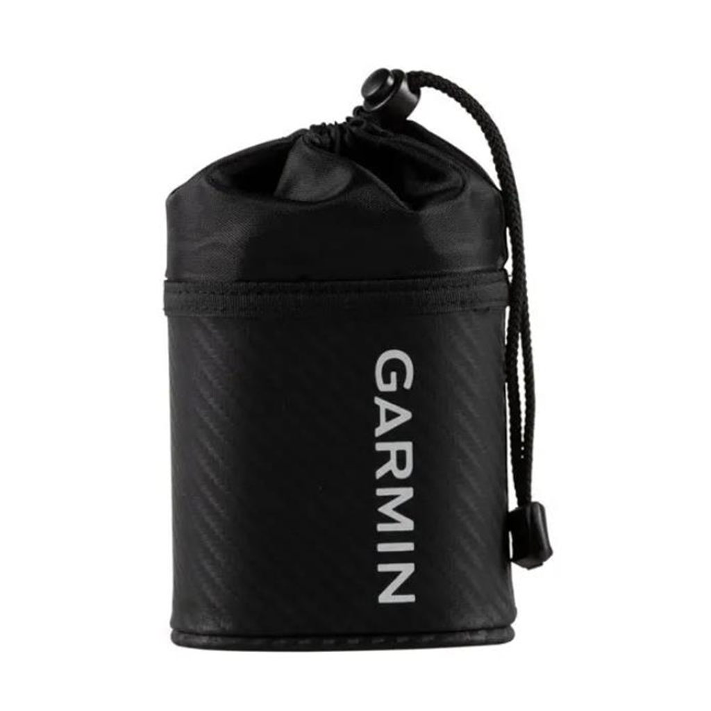
Protect your golf laser range finder with this durable carrying case. Use the included carabiner clip to securely attach the case to your belt or bag, or attach to your cart using the cart mount (sold separately). Sobib järgmistele Garmini toodetele: Garmin Approach Z80 / Z82