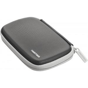
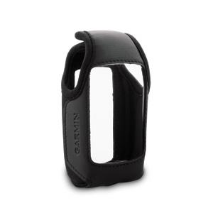
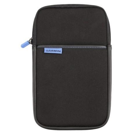
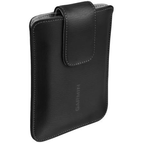
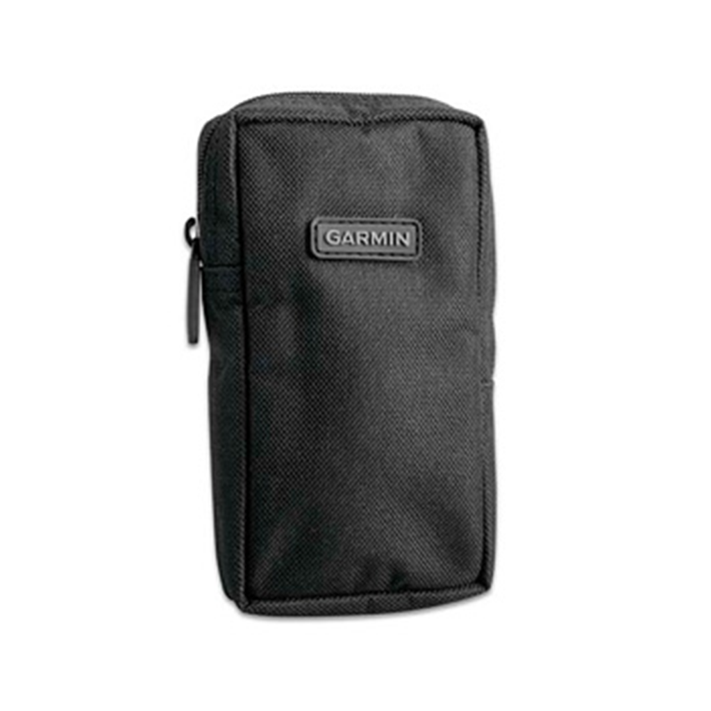
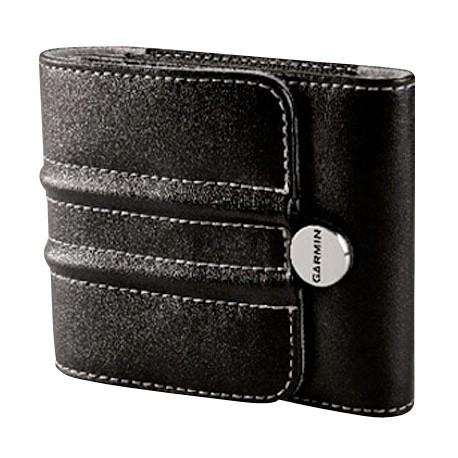
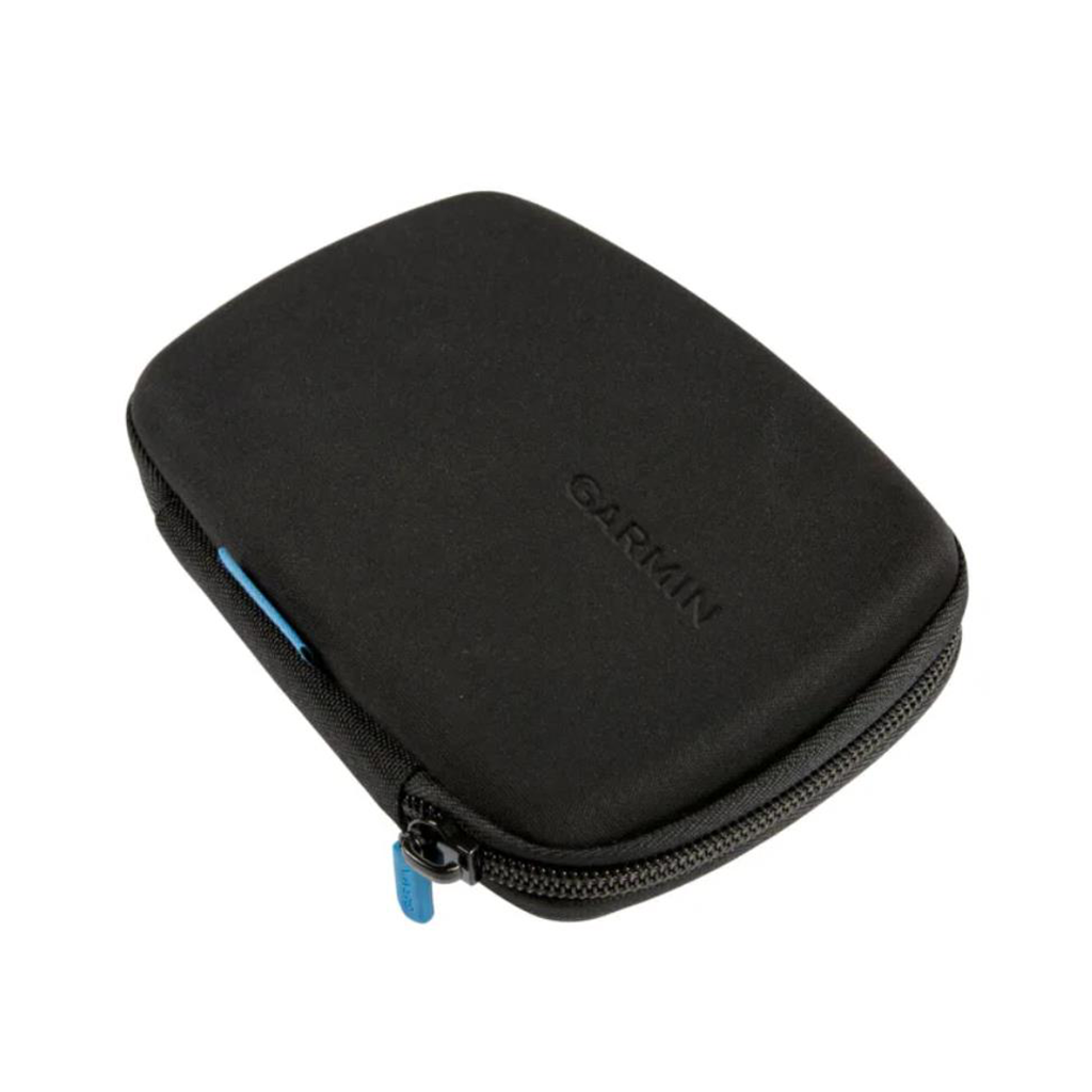
Garmin Universal 7-inch Carrying CaseGet durable all-around protection for your device with this sleek carrying case. This zippered black case surrounds your 7-inch device with foam and gray velvet, protecting it from scratches. Type Protective Case Car Navigation Max. Display Diagonal (inch) 7 Colour Black
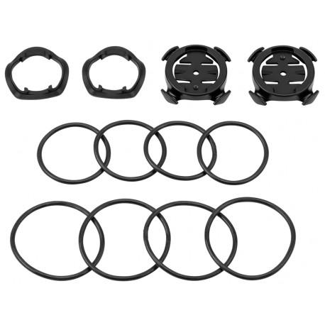
Edge 800, 500, 200 ning Forerunner 310XT ja Forerunner 910XT etteulatuv rattahoidik leistangile. Edge või Forerunner kinnitub hoidikule vaid veerand pöördega. Komplektis hoidik, kummist alus ja kummist paelad., Forerunner 310XT ja ...
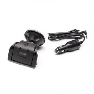
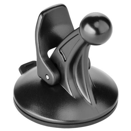
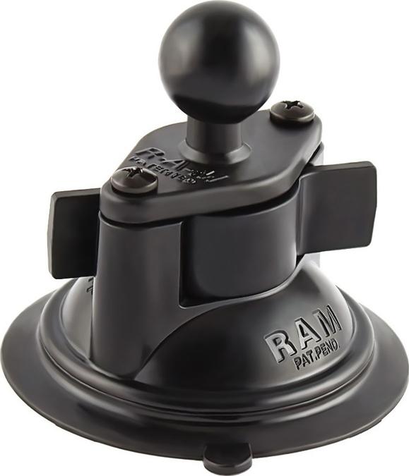
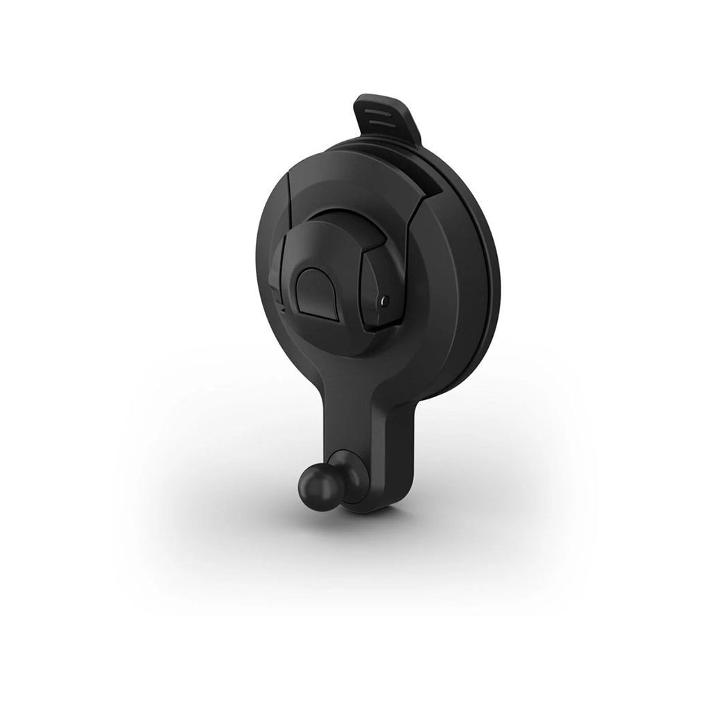
For easy viewing, use this suction cup mount to secure your device on your windshield or any smooth, flat surface. Type Navigation Mount Operating Range Motor Vehicle
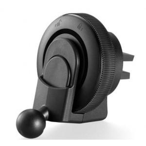
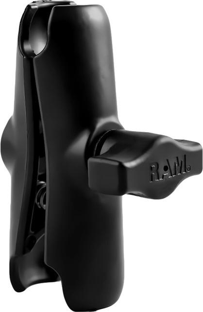
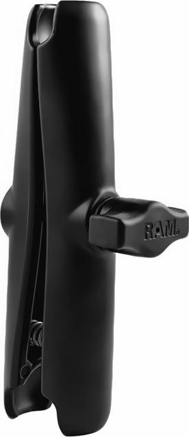
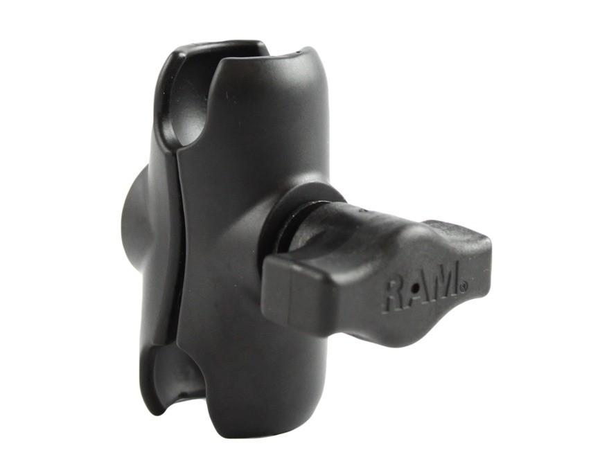
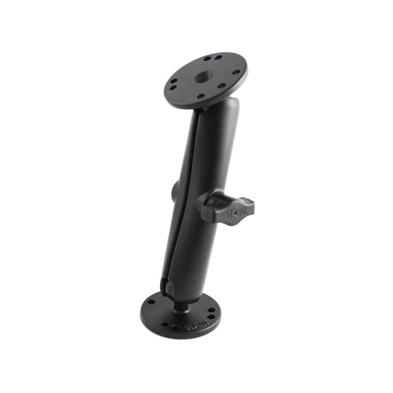
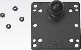
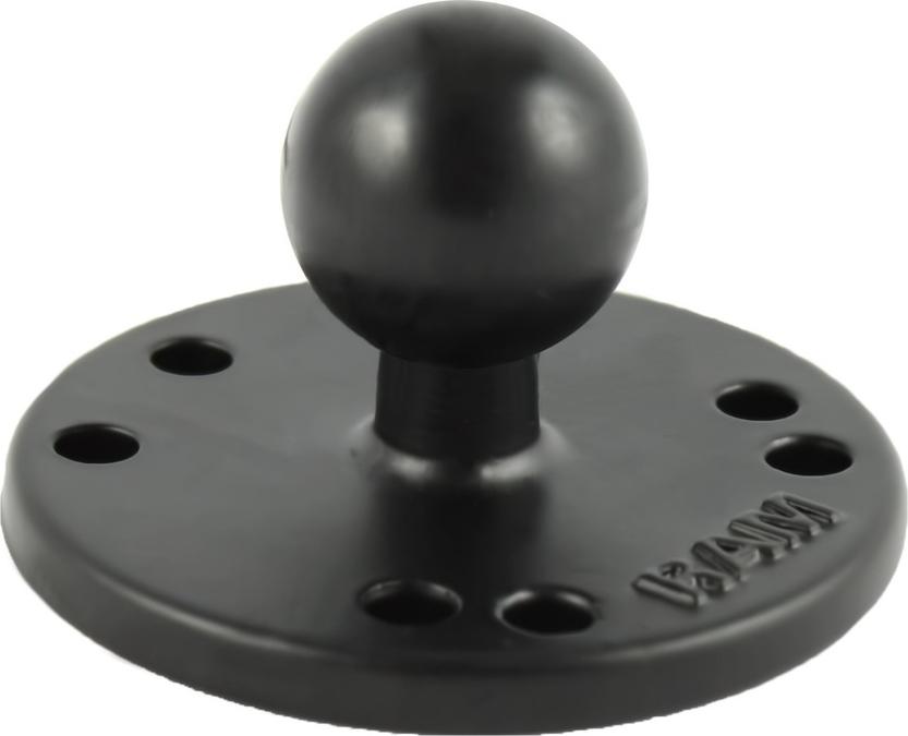
The RAM-B-202U consists of a B Size 1" diameter rubber ball connected to a flat 2.5" diameter plate. This mount has pre-drilled holes, including the universal AMPs hole pattern.
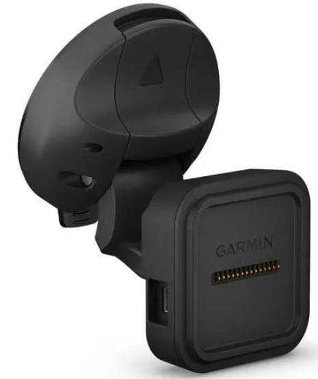
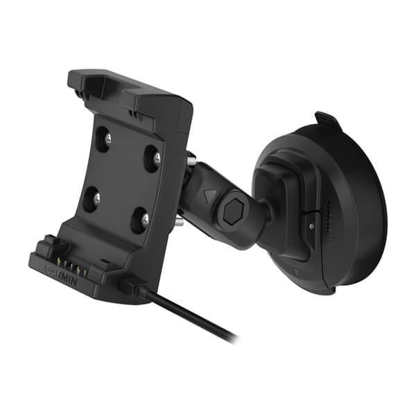
Paigaldage navigeerimise ajal ühilduv seade selle iminapa kinnitusega, mis sisaldab varukaamera ühilduvuse jaoks videosisendi porti (kaamera ei kuulu komplekti). Toiteallikaga magnetkinnitus laeb teie seadet sõidu ajal. Lihtsalt imege oma alus tuuleklaasile või mis tahes siledale tasasele pinnale. Sisaldab iminapa kinnitust ja magnetkinnitust. Selle kinnituse kuulliigendi suurus on 0,67” (17 mm).Ühildub:Camper 785 & Digital Trafficdēzl™ 780 LMT-SdēzlCam™ 785 LMT-S
Garmin 4.3" Carrying CaseGet premium, scratch-resistant protection for your device. This sleek leather case supports your 4.3" nüvi® while the soft fabric interior provides durable all-around protection. The case secures with a magnet.Compatible Devices: nüvi 2447LMTnüvi 2497LMT Type Protective Case Car Navigation Max. Display Diagonal (inch) 4,3 Colour Black
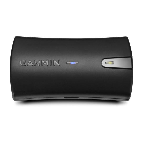
Navigate with Garmin caliber GPS data on the mobile device of your choice. The GLO 2 receiver brings you the best of both worlds by combining GPS and GLONASS receivers with Bluetooth® wireless technology so you can enjoy precise ...
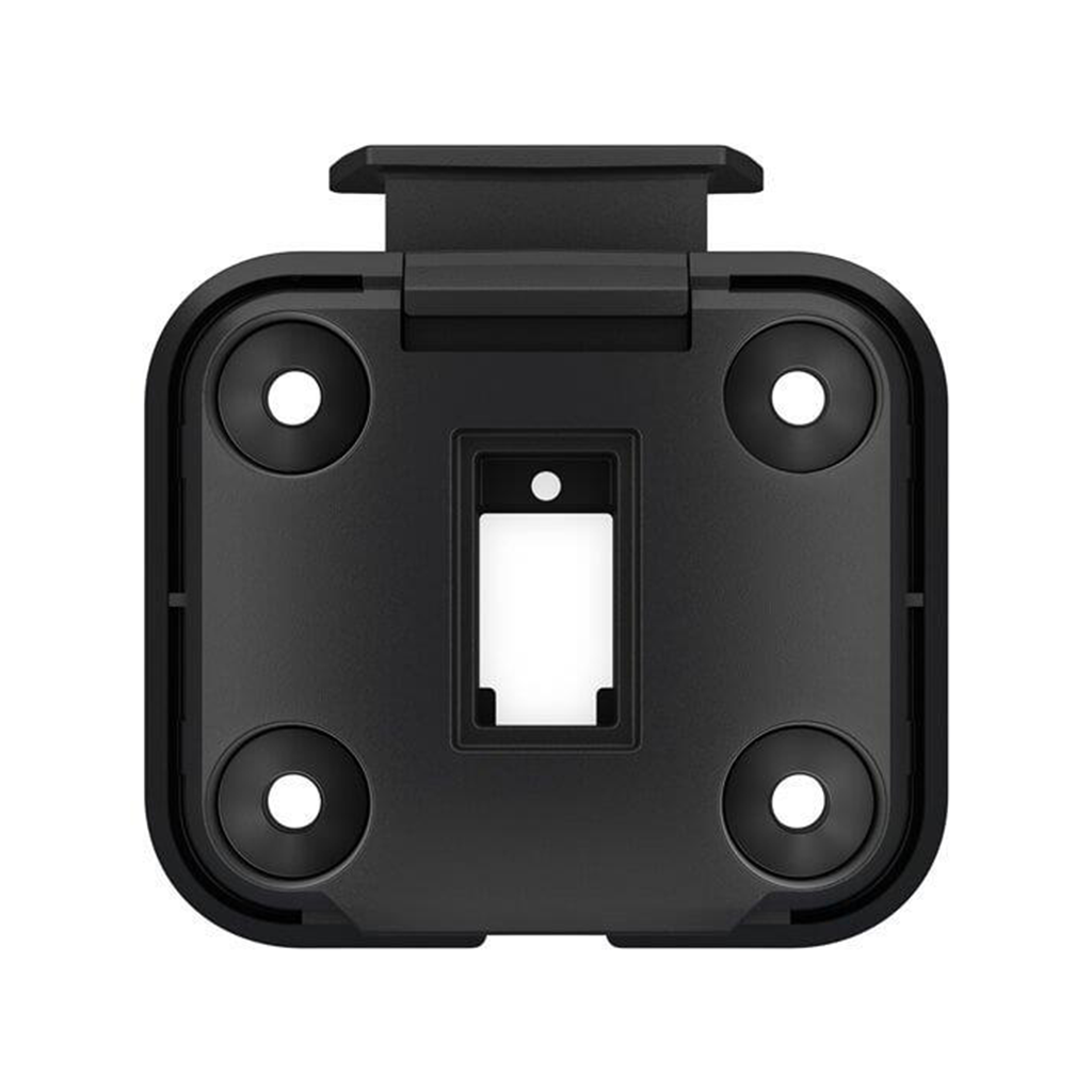
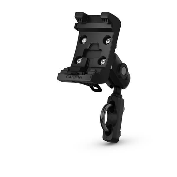
Mount your zūmo® to your motorcycle with this bracket that attaches to the bike´s handlebars using a separate mounting kit (sold separately). Hardware to attach the bracket to your compatible zūmo is included. Sobib järgmistele Garmin toodetele: Garmin Tread / Tread Base Edition Garmin zumo XT
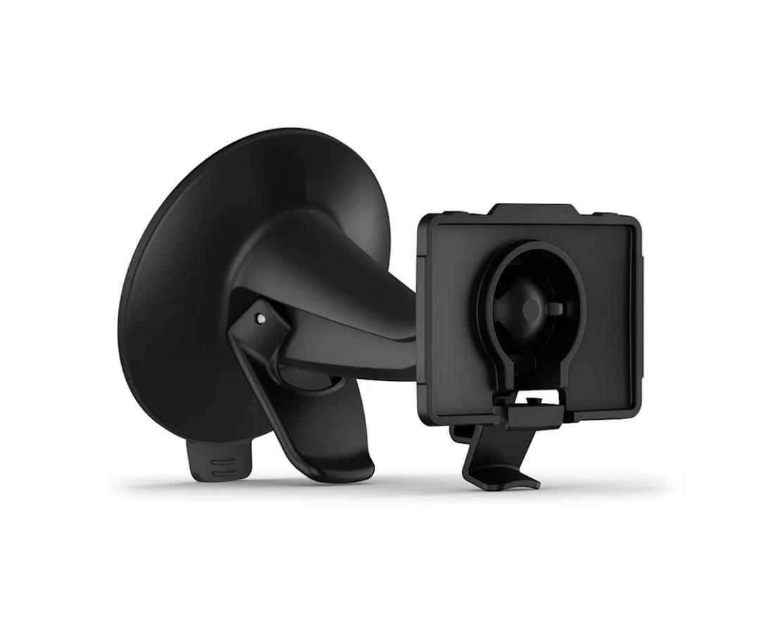
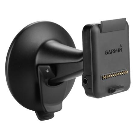
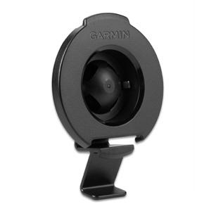
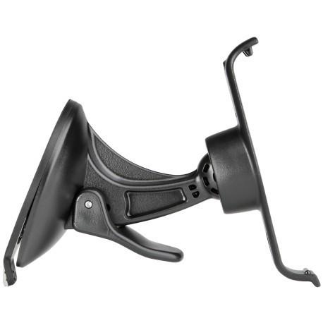
Garmin Vehicle Suction Cup Mount This adjustable suction cup mount allows you to easily access your compatible device while navigating in your vehicle. Simply suction your mount to the windshield or to the adhesive dashboard disc. Includes suction cup mount, cradle and dashboard disc. Type Navigation Mount Operating Range Motor Vehicle
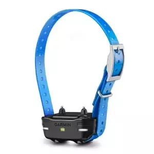
Train Multiple Dogs with your PRO 70/550 or Sport PRO Systems Train up to 6 dogs on 1 PRO 70 handheld, up to 3 dogs on 1 PRO 550 handheld or up to 3 dogs on 1 Sport PRO™ handheld (additional dog devices required; purchase separately) 1 mile range Built-in BarkLimiter™ Remote operation of beacon lights on dog device Interchangeable contact points The PT 10 dog device works with the PRO 70, PRO 550 and the Sport PRO handhelds, allowing you to add more dog device collars to your pack. Train up to 6 dogs on 1 PRO 70 handheld, 3 dogs on 1 PRO 550 handheld or 3 dogs on 1 Sport PRO handheld (additional dog devices required) with a range of 1 mile, plus remote-operated LED beacon lights for low light conditions and built in BarkLimiter, activated on the dog device, for a quieter kennel.
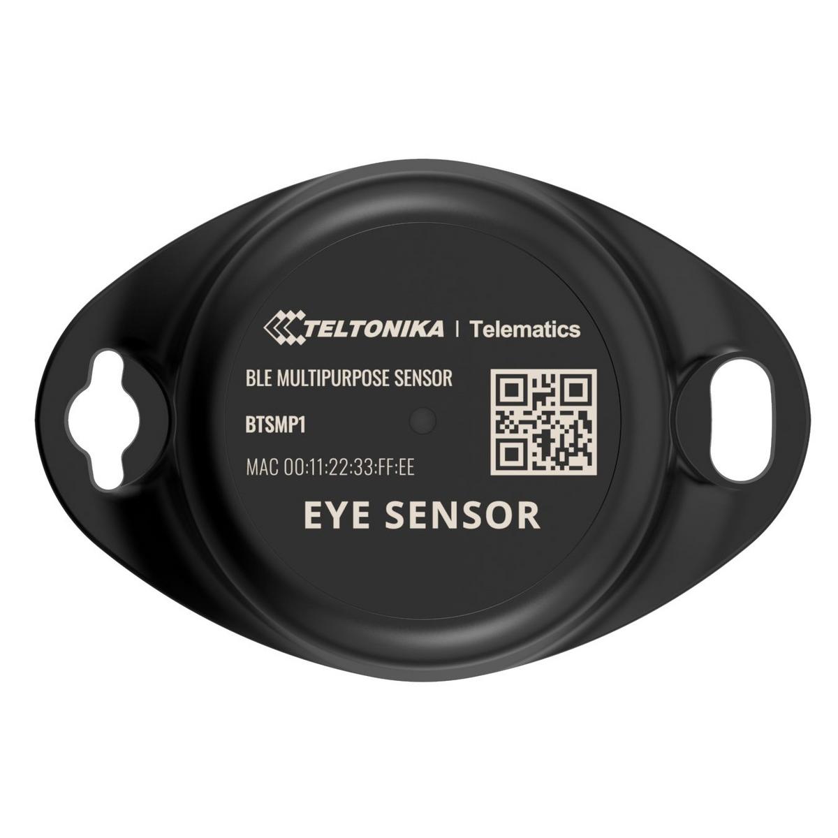
Wireless solutions open up new horizons for your business and help to keep an eye on your assets. Discover brand-new and certified Bluetooth Low Energy ID sensor model from Teltonika with robust waterproof casing and a long-lifetime battery. The model designed for a low-cost fast and easy configuration and integration to save precious time resources and ensure accountability.Perfect for traceability use cases delivery tracking monitoring of various movable objects in logistics (trailers containers) agriculture (tractor attachments) and constructions (tools and inventory). Sensors data makes it especially suitable for cold chain refrigerator use cases. The built-in accelerometer can detect item movement or fall events. Magnet detection can be used for wireless open/close detection and notifications such as trailer door events etc. EYE sensor supports iBeacon and Eddystone protocols. The device is fully compatible with the Teltonika firmware platform which provides extended functionality. Configure scan and update anytime anywhere with a dedicated Teltonika mobile app
Lihtsalt kinnita ühilduv seade – portree- või maastikurežiimis – toeka aluse1 külge ja saad navigeerida ka mootorratta või ATV-ga sõites. Komplekti kuulub hoidik, kinnitusvahendid, AMPS lüli/kuulipesa ja kaabel voolu-, heli- ja andmejuhtmete ühenduse loomiseks. Sobib järgmistele Garmini toodetele: Garmin Montana 700 / 700i / 750i
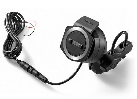
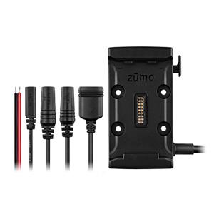
Zümo 590 mootorratta ja ATV kinnitus. Komplekt sisaldab hoidikut, võimalust ühildada RAM kinnitusega ja lahtiste juhtme otste ning kaitsmega toitejuhet koos audio ja andmete otstega.
Lihtsalt kinnita alus esiklaasi või mõne muu tasase ja lameda1 pinna külge ja kasuta liiklemisel oma ühilduvat seadet. Komplekti kuulub integreeritud kõlari ja lihtsat paigaldust võimaldava imikorgiga alus. Ühendatud seadet laaditakse. Sobib järgmistele Garmini toodetele: Garmin Montana 700 / 700i / 750i
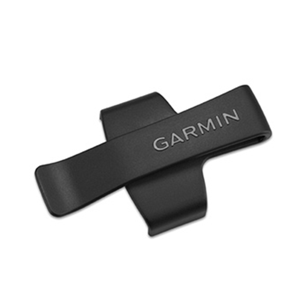
Keep your GLO within reach while navigating on foot with this durable belt clip. Simply snap GLO into the plastic mount, clamp it to your belt or clothes, and go.
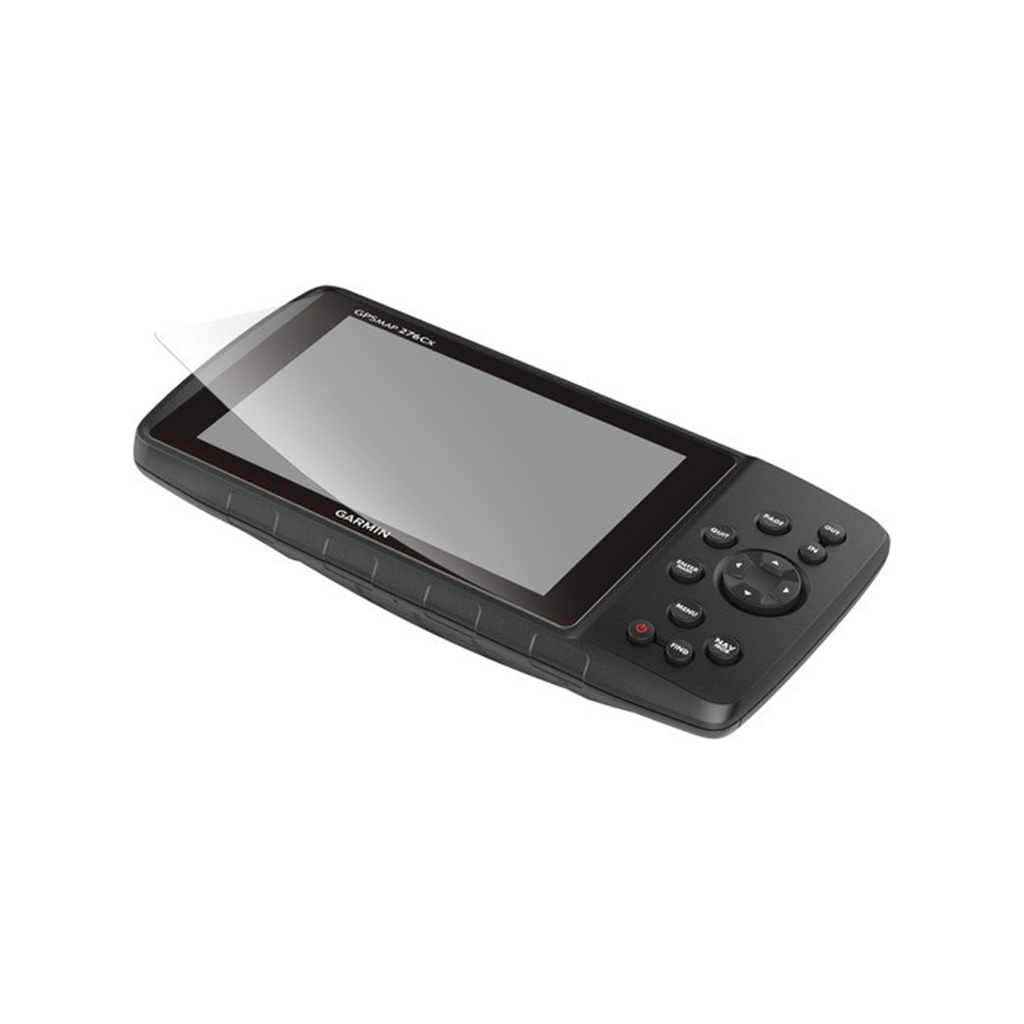
These screen protectors reduce sunlight glare, minimize fingerprint smudges and protect against scratches on your compatible device. Includes 3 per package. Sobib järgmistele Garmin toodetele: Garmin GPSMAP 276Cx
Travel in style with this sleek carrying case. It’s built to endure the elements, protecting your compatible navigator for the long haul. This case is designed with a durable thermo-molded exterior with a zipper-accessed padded interior. Sobib järgmistele Garmin toodetele: Garmin Tread / Tread Base Edition Garmin zumo XT / XT2
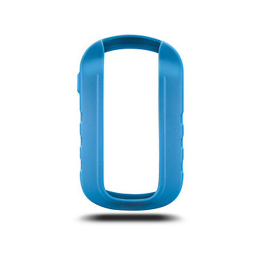
Protect your eTrex Touch with these form-fitting, removable silicone cases. Available in an assortment of colors (sold separately). Sobib järgmistele Garmin toodetele: Garmin eTrex Touch 25 / Touch 35
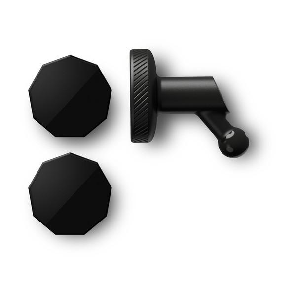
Kasuta oma ühilduva pardakaamera Garmin Dash Cam™ jaoks uue disainiga teisaldatavat iminapp-alust. Vali kaasasolevate kinnitustoendite hulgast oma sõiduki esiklaasile kinnitamise jaoks kõige sobivam lahendus. Paigaldamisel tuleks jälgida, et KAUGKAAMERA video salvestamisel midagi ette ei jääks. Sobib järgmisele Garmin tootele: Garmin Dash Cam 45 / 46 /47 / 55 / 56 / 57 / 65W / 66W / 67W / Mini / Mini 2 / Tandem Garmin Catalyst
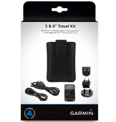
Keep nüvi® travel-ready with this handy pack of accessories. The magnetic carrying case provides protection for your navigator while the versatile AC charger powers and charges devices with micro and mini connections. Simply disconnect the cable to convert to a USB connection. Includes international adapter plugs for the U.S., U.K. and Europe.